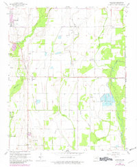
1965 Map of Auvergne
USGS Topo · Published 1982About this map
Auvergne and the surrounding Jackson County wetlands define this landscape, where the Cache River and its complex network of sloughs dictate the pattern of human settlement. The map reveals an agrarian society deeply connected to its water sources, featuring a notable Fish Hatchery and various water management systems like the Flume near Remmel. The presence of numerous small cemeteries, such as the Odd Fellows Cem, Sand Hill Cem, and Lampkins Cem, provide essential data for genealogical research into the families that established these river-bottom communities.
Find a feature on this map
35 named features on this map. Tap any name to fly to it.
Don’t see what you’re looking for? This feature index may not catch every label — zoom into the map to look around manually.
Map Details
Editions of this 1965 Auvergne Map
2 editions found
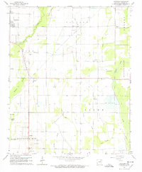
Other maps of this area

1935 · Newport
USGS Topo · 1:62,500

1935 · Augusta
USGS Topo · 1:62,500

1935 · Tuckerman
USGS Topo · 1:62,500

1940 · Tilton
USGS Topo · 1:62,500

1953 · Memphis
USGS Topo · 1:250,000

1956 · Memphis
USGS Topo · 1:250,000

1956 · Tilton
USGS Topo · 1:62,500

1957 · Augusta
USGS Topo · 1:62,500

1962 · Jacksonport
USGS Topo · 1:24,000

1962 · Newport
USGS Topo · 1:24,000