Loading...
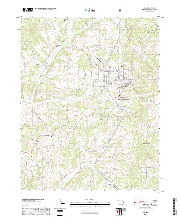
Loading map...2021 Map of Ava
USGS Topo · Published 2021About this map
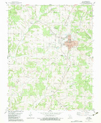
Ava serves as the focal point of this Ozark plateau landscape, centered on the Douglas County Courthouse and a grid of streets that transition into a sprawling network of county roads. The town's aviation infrastructure is represented by the Ava Bill Martin Memorial Airport to the north. To the west, the small settlement of Arno sits along the banks of Cowskin Cr, marking a distinct community hub apart from the county seat.
Find a feature on this map
131 named features on this map. Tap any name to fly to it.
Don’t see what you’re looking for? This feature index may not catch every label — zoom into the map to look around manually.
Map Details
Date Portrayed2021
Date Published2021
PublisherU.S. Geological Survey
Map TypeTopographic
Scale1:24000
Physical Dimensions24 x 29 inches
Editions of this 2021 Ava Map
This is the sole edition of this map. No revisions or reprints were ever made.
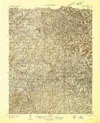
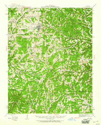
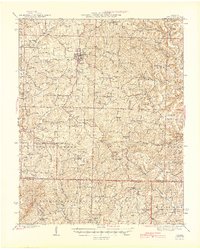
Historical Maps of Ava Through Time
6 maps found
Featured Locations
Source Details
SourceU.S. Geological Survey
CopyrightPublic Domain