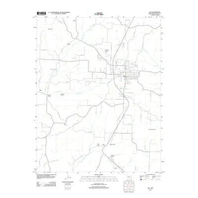
1985 Map of Ava
USGS Topo · Published 1985About this map
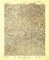
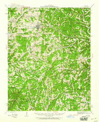
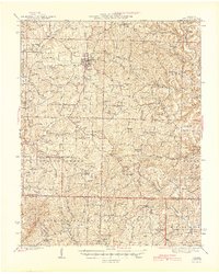
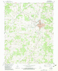
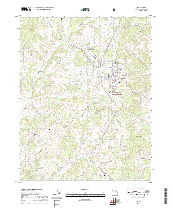
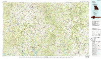
Ava serves as the regional hub for this portion of the Missouri Ozarks, situated amidst a landscape defined by deep river valleys and high ridges. The 1985 survey illustrates a rural network of small communities and crossroads such as Vera Cruz, Rockbridge, and Thornfield, each often centered around a local post office or church. The southern portion of the map is dominated by the sprawling waters of Bull Shoals Lake and Norfork Lake, which altered the drainage patterns of the Little North Fork White River and North Fork White River. Large tracts of the Mark Twain National Forest cover the terrain, interspersed with state-managed conservation lands like the Caney Mountain State Wildlife Area. This era shows the developed state highway system, including State Hwy 5 and State Hwy 76, connecting remote hamlets like Romance and Nottinghill through the rugged drainage basins of Bryant Creek and Beaver Creek.
Find a feature on this map
329 named features on this map. Tap any name to fly to it.
Don’t see what you’re looking for? This feature index may not catch every label — zoom into the map to look around manually.
Map Details
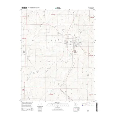
Editions of this 1985 Ava Map
This is the sole edition of this map. No revisions or reprints were ever made.
Historical Maps of Ava Through Time
9 maps found