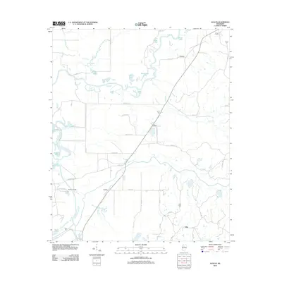
2012 Map of Avalon
USGS Topo · Published 2012About this map
The Yalobusha River meanders across this Carroll County landscape, creating a complex network of oxbows and wetlands including Wolf Lake, Blue Lake, and Musselwhite Lake. This 2012 survey illustrates the transition from the river bottomlands to the rising terrain of Nixon Flat in the east. The settlement of Avalon serves as a central point for local travel, connected to outlying communities like Leflore and Parsons via a grid of rural routes such as Money Rd and Malmaison Rd. Genealogists will find significant value in the distribution of family and community burial grounds, including Shiloh Cem and Saint James Cem. The map also documents the drainage patterns of Potacocowa Cr and Black Cr, which define the agricultural layout of the region. The persistence of names like Duncan Crossing reflects the long-standing importance of specific transit points across the river's winding course.
Find a feature on this map
60 named features on this map. Tap any name to fly to it.
Don’t see what you’re looking for? This feature index may not catch every label — zoom into the map to look around manually.
Map Details
Editions of this 2012 Avalon Map
This is the sole edition of this map. No revisions or reprints were ever made.
Other maps of this area

1932 · Philipp
USGS Topo · 1:48,000

1935 · Philipp
USGS Topo · 1:62,500

1936 · Greenwood
USGS Topo · 1:62,500

1939 · Philipp
USGS Topo · 1:62,500

1940 · Greenwood
USGS Topo · 1:62,500

1953 · Greenwood
USGS Topo · 1:250,000

1953 · West Point
USGS Topo · 1:250,000

1954 · Grenada
USGS Topo · 1:62,500

1954 · McCarley
USGS Topo · 1:62,500

1956 · Greenwood
USGS Topo · 1:250,000