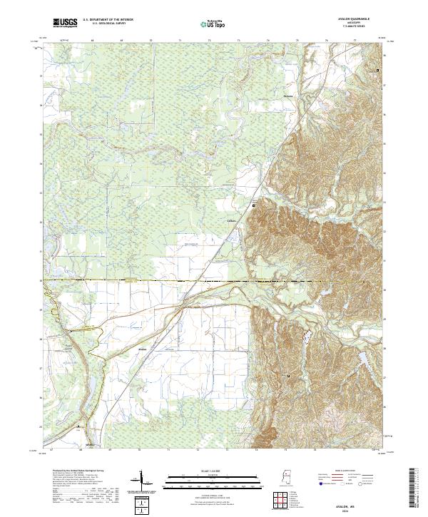
2024 Map of Avalon
USGS Topo · Published 2024About this map
The Yalobusha River meanders across the northern portion of this landscape, carving a wide floodplain defined by numerous oxbow features and wetland basins such as Wolf Lake, Musselwhite Lake, and Flat Lake. The terrain transitions sharply from the alluvial lowlands in the west to the higher, dissected hills of the east. This elevation shift is most pronounced near Leflore, where the Malmaison Rd runs along the base of the bluff line. The settlement of Avalon serves as a central point for the local transportation network, situated near the intersection of several county roads and the Avalon Cut-Off. Local history is preserved through several family and community landmarks, including Duncan Cem, Shiloh Cem, and Saint James Cem. The network of backroads like Weir Rd and Nixon-Flatt Rd provides access to the agricultural lands and timbered ridges that define this part of the Mississippi interior.
Find a feature on this map
71 named features on this map. Tap any name to fly to it.
Don’t see what you’re looking for? This feature index may not catch every label — zoom into the map to look around manually.
Map Details
Editions of this 2024 Avalon Map
This is the sole edition of this map. No revisions or reprints were ever made.
Other maps of this area

1932 · Philipp
USGS Topo · 1:48,000

1935 · Philipp
USGS Topo · 1:62,500

1936 · Greenwood
USGS Topo · 1:62,500

1939 · Philipp
USGS Topo · 1:62,500

1940 · Greenwood
USGS Topo · 1:62,500

1953 · Greenwood
USGS Topo · 1:250,000

1953 · West Point
USGS Topo · 1:250,000

1954 · Grenada
USGS Topo · 1:62,500

1954 · McCarley
USGS Topo · 1:62,500

1956 · Greenwood
USGS Topo · 1:250,000