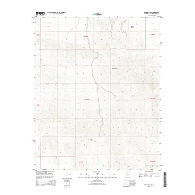
2015 Map of Avawatz Pass
USGS Topo · Published 2015About this map
Avawatz Pass sits at the intersection of extreme arid environments, where the southern reaches of Death Valley meet the vast Mojave Desert. This terrain is defined by its critical water sources, which historically dictated travel and survival in this corner of San Bernardino County. Named water points such as Denning Spring, Cave Spring, and Cottonwood Spring are clearly marked, providing evidence of the essential stopping points for those traversing the high desert. The presence of Arrastre Spring is particularly notable, as the name itself suggests historical mining activity, referring to the primitive mule-drawn mills used to grind ore. The map captures the complex topography of the region through detailed contouring, illustrating the natural corridors and barriers that shaped the passage between these two iconic California desert landscapes.
Find a feature on this map
15 named features on this map. Tap any name to fly to it.
Don’t see what you’re looking for? This feature index may not catch every label — zoom into the map to look around manually.
Map Details
Editions of this 2015 Avawatz Pass Map
This is the sole edition of this map. No revisions or reprints were ever made.
Other maps of this area

1933 · Avawatz Mountains
USGS Topo · 1:250,000

1947 · Trona
USGS Topo · 1:250,000

1948 · Red Pass Lake
USGS Topo · 1:62,500

1948 · Trona
USGS Topo · 1:250,000

1948 · Leach Lake
USGS Topo · 1:62,500

1948 · Avawatz Pass
USGS Topo · 1:62,500

1948 · Tiefort Mountains
USGS Topo · 1:62,500

1951 · Tiefort Mountains
USGS Topo · 1:62,500

1951 · Avawatz Pass
USGS Topo · 1:62,500

1951 · Red Pass Lake
USGS Topo · 1:62,500