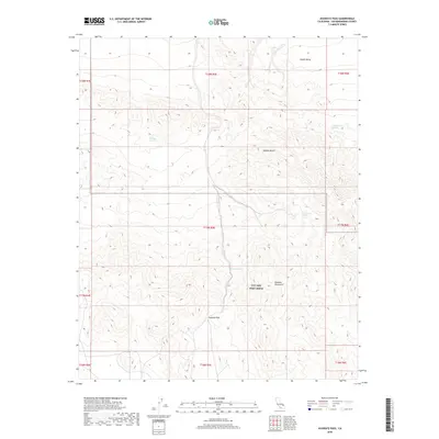
2018 Map of Avawatz Pass
USGS Topo · Published 2018About this map
Avawatz Pass serves as a critical topographic corridor between the Avawatz Mountains and the lower elevations of the Mojave Desert and the southern reaches of Death Valley. The landscape is defined by its transition from high mountain terrain to arid basins, where scattered water sources such as Denning Spring and Cottonwood Spring provide rare points of relief. A significant portion of this southern California desert is occupied by the military training grounds of NTC and Fort Irwin, illustrating the modern land use of this remote area. Topographical details reveal the drainage patterns surrounding peaks and canyons, including the locations of Arrastre Spring and Cave Spring, which historically marked essential stops for travelers and explorers navigating this high-relief environment.
Find a feature on this map
19 named features on this map. Tap any name to fly to it.
Don’t see what you’re looking for? This feature index may not catch every label — zoom into the map to look around manually.
Map Details
Editions of this 2018 Avawatz Pass Map
This is the sole edition of this map. No revisions or reprints were ever made.
Other maps of this area

1933 · Avawatz Mountains
USGS Topo · 1:250,000

1947 · Trona
USGS Topo · 1:250,000

1948 · Red Pass Lake
USGS Topo · 1:62,500

1948 · Trona
USGS Topo · 1:250,000

1948 · Leach Lake
USGS Topo · 1:62,500

1948 · Avawatz Pass
USGS Topo · 1:62,500

1948 · Tiefort Mountains
USGS Topo · 1:62,500

1951 · Tiefort Mountains
USGS Topo · 1:62,500

1951 · Avawatz Pass
USGS Topo · 1:62,500

1951 · Red Pass Lake
USGS Topo · 1:62,500