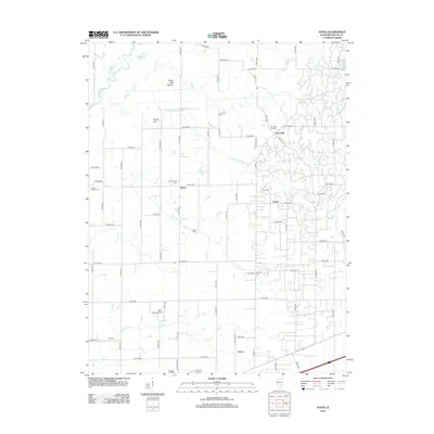
2012 Map of Avena
USGS Topo · Published 2012About this map
Sefton and Post Oak anchor this rural Fayette County landscape, where the S Fork Kaskaskia River and its tributaries carve a complex drainage pattern through central Illinois. The map reveals a high concentration of burial grounds, including the New Liberty Cem, Mount Carmel Cem, and Yolton Cem, which often mark the sites of early communities or family homesteads. Physical landmarks like White Oak Mound and Island Hill rise above the surrounding creek bottoms of Suck Cr and Linn Cr. A mix of modern infrastructure and traditional settlement patterns is evident, with the Miller Landing Strip situated north of Avena and the winding Brickyard Br flowing to the east. This detailed survey provides genealogists and local historians a clear view of the county's township-and-range road grid as it existed in the early 21st century.
Find a feature on this map
65 named features on this map. Tap any name to fly to it.
Don’t see what you’re looking for? This feature index may not catch every label — zoom into the map to look around manually.
Map Details
Editions of this 2012 Avena Map
This is the sole edition of this map. No revisions or reprints were ever made.
Other maps of this area

1941 · St. Elmo
USGS Topo · 1:62,500

1944 · Ramsey
USGS Topo · 1:62,500

1945 · St. Elmo
USGS Topo · 1:62,500

1945 · Kinmundy
USGS Topo · 1:62,500

1945 · Vandalia
USGS Topo · 1:62,500

1946 · Ramsey
USGS Topo · 1:62,500

1947 · Vandalia
USGS Topo · 1:62,500

1947 · Kinmundy
USGS Topo · 1:62,500

1958 · Decatur
USGS Topo · 1:250,000

1958 · Belleville
USGS Topo · 1:250,000