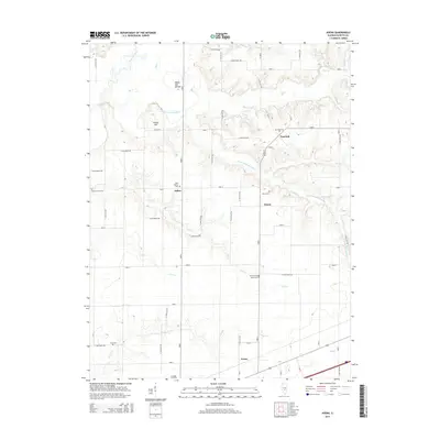
2015 Map of Avena
USGS Topo · Published 2015About this map
Sefton and Post Oak anchor this rural landscape in Fayette County, where the Kaskaskia River and its many tributaries define the local geography. The area's hydrology is complex, featuring the S Fork Kaskaskia River and several named creeks such as Big Cr, Suck Cr, and Camp Cr. Distinctive landforms like White Oak Mound and Island Hill rise above the drainage basins, providing relief in the otherwise steady Illinois terrain.
Find a feature on this map
54 named features on this map. Tap any name to fly to it.
Don’t see what you’re looking for? This feature index may not catch every label — zoom into the map to look around manually.
Map Details
Editions of this 2015 Avena Map
This is the sole edition of this map. No revisions or reprints were ever made.
Other maps of this area

1941 · St. Elmo
USGS Topo · 1:62,500

1944 · Ramsey
USGS Topo · 1:62,500

1945 · St. Elmo
USGS Topo · 1:62,500

1945 · Kinmundy
USGS Topo · 1:62,500

1945 · Vandalia
USGS Topo · 1:62,500

1946 · Ramsey
USGS Topo · 1:62,500

1947 · Vandalia
USGS Topo · 1:62,500

1947 · Kinmundy
USGS Topo · 1:62,500

1958 · Decatur
USGS Topo · 1:250,000

1958 · Belleville
USGS Topo · 1:250,000