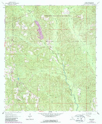
1964 Map of Avera
USGS Topo · Published 1988About this map
De Soto National Forest and the Chickasawhay State Wildlife Management Area dominate this section of Greene County, where the landscape is defined by a dense network of creek drainages and timbered ridges. The 1964 survey, with purple-tinted revisions from 1980, shows the rural community centers of Avera and Bothwell, which are connected by winding country roads.
Find a feature on this map
21 named features on this map. Tap any name to fly to it.
Don’t see what you’re looking for? This feature index may not catch every label — zoom into the map to look around manually.
Map Details
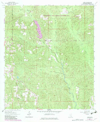
Editions of this 1964 Avera Map
3 editions found
Other maps of this area

1947 · Beaumont
USGS Topo · 1:62,500

1949 · Beaumont
USGS Topo · 1:62,500

1953 · Hattiesburg
USGS Topo · 1:250,000

1958 · Hattiesburg
USGS Topo · 1:250,000

1963 · Brewer
USGS Topo · 1:24,000

1964 · Knobtown
USGS Topo · 1:24,000

1964 · Clark
USGS Topo · 1:24,000

1964 · Mulberry
USGS Topo · 1:24,000

1964 · Avera
USGS Topo · 1:24,000

1964 · Piave
USGS Topo · 1:24,000