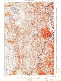
1929 Map of Averill
USGS Topo · Published 1942About this map
The Connecticut River serves as the dominant boundary and lifeline of this Northeast Kingdom landscape, separating Vermont and New Hampshire during an era of heavy timber and rail activity. In the 1920s, the region was characterized by numerous logging operations, evidenced by a dense concentration of numbering camps such as Camp No 20 and Camp No 16 scattered across the township of Averill. The local economy relied on the river and its tributaries, where structures like Conway Dam and Buzzell Dam managed water for the logging industry. Transport for both timber and passengers was facilitated by the Maine Central Railroad and the Grand Trunk Railway, which linked riverfront settlements like North Stratford and Beecher Falls. Smaller communities and rural landmarks, including St Joseph Sch and the Alice Hunt Cemetery, provide essential anchor points for genealogical research in this sparsely populated borderland.
Find a feature on this map
107 named features on this map. Tap any name to fly to it.
Don’t see what you’re looking for? This feature index may not catch every label — zoom into the map to look around manually.
Map Details
Editions of this 1929 Averill Map
5 editions found
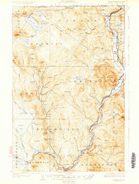
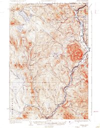
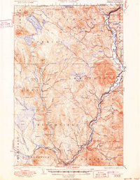
Other maps of this area

1920 · Guildhall
USGS Topo · 1:62,500

1924 · Island Pond
USGS Topo · 1:48,000

1925 · Indian Stream
USGS Topo · 1:48,000

1926 · Island Pond
USGS Topo · 1:62,500

1926 · Indian Stream
USGS Topo · 1:62,500

1927 · Indian Stream
USGS Topo · 1:62,500

1929 · Averill
USGS Topo · 1:62,500

1930 · Percy
USGS Topo · 1:62,500

1930 · Dixville
USGS Topo · 1:62,500

1931 · Guildhall
USGS Topo · 1:48,000