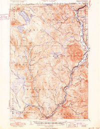
1929 Map of Averill
USGS Topo · Published 1950About this map
Monadnock Mountain dominates the rugged terrain of Essex County, where the Connecticut River forms the boundary between Vermont and New Hampshire. This landscape is defined by the heavy logging industry of the early 20th century, evidenced by a series of dams including Buzzell Dam, Peanut Dam, and Stone Dam along the various branches of the Nulhegan River. The region was serviced by the Maine Central RR, which follows the river valley through settlements like Beecher Falls and North Stratford. Local education and community life are marked by numerous rural schoolhouses such as Blodgett Sch and South Columbia Sch, alongside landmarks like the Line House on the international border with Canada. Further inland, the high country around Averill Lake and Little Averill Lake remains largely undeveloped, save for the legacy of a now abandoned lumber rail line.
Find a feature on this map
120 named features on this map. Tap any name to fly to it.
Don’t see what you’re looking for? This feature index may not catch every label — zoom into the map to look around manually.
Map Details
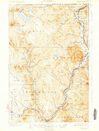
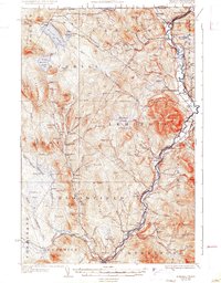
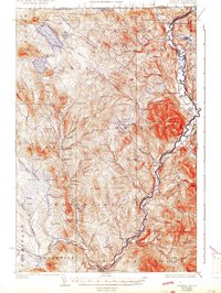
Editions of this 1929 Averill Map
5 editions found
Other maps of this area

1920 · Guildhall
USGS Topo · 1:62,500

1924 · Island Pond
USGS Topo · 1:48,000

1925 · Indian Stream
USGS Topo · 1:48,000

1926 · Island Pond
USGS Topo · 1:62,500

1926 · Indian Stream
USGS Topo · 1:62,500

1927 · Indian Stream
USGS Topo · 1:62,500

1929 · Averill
USGS Topo · 1:62,500

1930 · Percy
USGS Topo · 1:62,500

1930 · Dixville
USGS Topo · 1:62,500

1931 · Guildhall
USGS Topo · 1:48,000