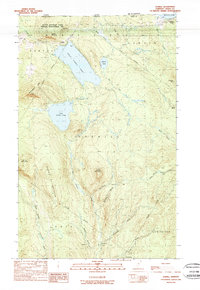
1989 Map of Averill
USGS Topo · Published 1989About this map
The northern tip of the Averill Mountain State Wildlife Management Area anchors this 1980s terrain at the international boundary between Canada and the Vermont border. This area is defined by its massive glacial water bodies, most notably Great Averill Pond and Little Averill Pond, which sit in a basin surrounded by significant peaks like Averill Mountain, Brousseau Mtn, and Sable Mountain. The hydrology is complex, with the East Branch Nulhegan River and Black Branch Nulhegan River draining the southern hills while The Inlet feeds the larger ponds to the north.
Find a feature on this map
42 named features on this map. Tap any name to fly to it.
Don’t see what you’re looking for? This feature index may not catch every label — zoom into the map to look around manually.
Map Details
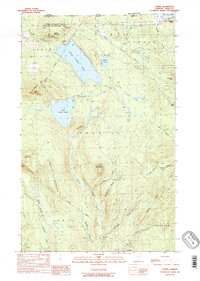
Editions of this 1989 Averill Map
2 editions found
Other maps of this area

1924 · Island Pond
USGS Topo · 1:48,000

1926 · Island Pond
USGS Topo · 1:62,500

1929 · Averill
USGS Topo · 1:62,500

1949 · Jackman
USGS Topo · 1:250,000

1950 · Lewiston
USGS Topo · 1:250,000

1953 · Island Pond
USGS Topo · 1:62,500

1953 · Averill
USGS Topo · 1:62,500

1956 · Lewiston
USGS Topo · 1:250,000

1961 · Lewiston
USGS Topo · 1:250,000

1962 · Lewiston
USGS Topo · 1:250,000