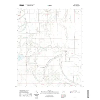
2020 Map of Avery
USGS Topo · Published 2020About this map
Bayou Bartholomew meanders extensively through this Lincoln County landscape, defining the character of the terrain with its winding course and associated wetlands. This survey captures a rural landscape where agriculture is interspersed with numerous brakes and sloughs, including Gibson Brake, Avery Brake, and Campbell Brake. These features, along with Panther Slough and Mills Slough, indicate a complex alluvial environment where water management and natural drainage are central to the geography.
Find a feature on this map
53 named features on this map. Tap any name to fly to it.
Don’t see what you’re looking for? This feature index may not catch every label — zoom into the map to look around manually.
Map Details
Editions of this 2020 Avery Map
This is the sole edition of this map. No revisions or reprints were ever made.
Other maps of this area

1935 · Feenyville
USGS Topo · 1:62,500

1935 · Varner
USGS Topo · 1:62,500

1935 · Noble Lake
USGS Topo · 1:62,500

1935 · Rotan
USGS Topo · 1:62,500

1948 · Helena
USGS Topo · 1:250,000

1950 · Helena
USGS Topo · 1:250,000

1953 · Greenwood
USGS Topo · 1:250,000

1955 · Helena
USGS Topo · 1:250,000

1956 · Greenwood
USGS Topo · 1:250,000

1959 · Helena
USGS Topo · 1:250,000