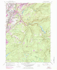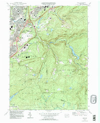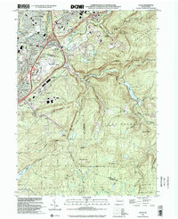
2023 Map of Avoca
USGS Topo · Published 2023About this map
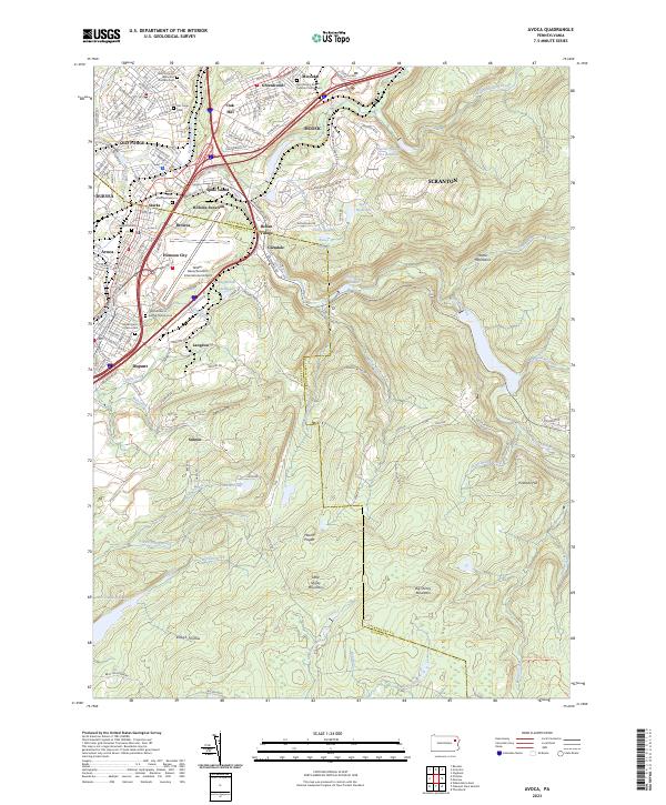
Moosic and the surrounding valley communities sit at a busy industrial and transportation crossroads where the Lackawanna River cuts through the coal region. The landscape is defined by a dense corridor of settlements including Old Forge, Avoca, and Duryea, as well as several smaller named neighborhoods like Spike Island, Belian Village, and Starks. Genealogists will find a high concentration of denominational burial grounds, such as the Saint-Mary's Roman Catholic Church Cem and Sacred Heart of Jesus Cem. While the lower elevations are dominated by the Wilkes-Barre/Scranton International Airport and the path of the Lackawanna & Wyoming Valley RR, the eastern half of the map shifts abruptly into the high ridges of the Moosic Mountains. Here, the terrain is marked by peaks like Big Shiney Mountain and various water works such as the Spring Brook Intake and District Number Five Reservoir.
Find a feature on this map
155 named features on this map. Tap any name to fly to it.
Don’t see what you’re looking for? This feature index may not catch every label — zoom into the map to look around manually.
Map Details
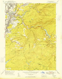
Editions of this 2023 Avoca Map
This is the sole edition of this map. No revisions or reprints were ever made.
Historical Maps of Avoca Through Time
6 maps found