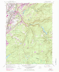
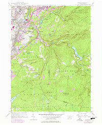
1946 Map of Avoca
USGS Topo · Published 1984About this map
The Lackawanna River valley serves as the industrial and residential anchor for this region, where the urban expansion of Old Forge, Moosic, and Avoca meets the rising slopes of the Moosic Mountains. While the northwest is densely patterned with settlements like Spike Island and Lawrenceville, the southeast shifts abruptly into the high, protected terrain of State Game Lands No. 91. The transition between these worlds is marked by the presence of the Wilkes-Barre Scranton Airport and the path of the Northeast Extension Pennsylvania Turnpike.
Find a feature on this map
65 named features on this map. Tap any name to fly to it.
Don’t see what you’re looking for? This feature index may not catch every label — zoom into the map to look around manually.
Map Details
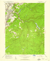
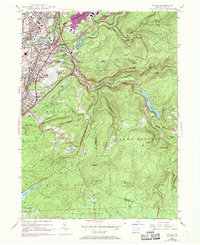
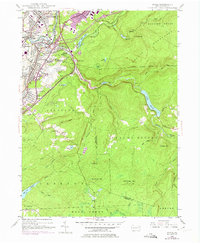
Editions of this 1946 Avoca Map
5 editions found
Other maps of this area

1889 · Scranton
USGS Topo · 1:62,500

1891 · Wilkesbarre
USGS Topo · 1:62,500

1891 · Scranton
USGS Topo · 1:62,500

1893 · Pittston
USGS Topo · 1:62,500

1893 · Scranton
USGS Topo · 1:62,500

1894 · Wilkesbarre
USGS Topo · 1:62,500

1922 · Stoddartsville
USGS Topo · 1:62,500

1924 · Stoddartsville
USGS Topo · 1:62,500

1943 · Scranton
USGS Topo · 1:125,000

1943 · Stoddartsville
USGS Topo · 1:62,500