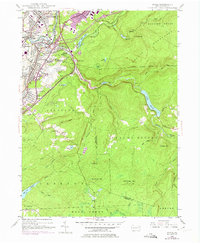
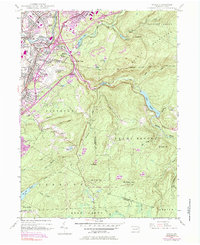
1946 Map of Avoca
USGS Topo · Published 1974About this map
The Lackawanna River corridor defines this industrial and residential landscape, where the anthracite coal region's dense rail networks and established boroughs converge. Settled hubs like Old Forge, Duryea, and Avoca sit along the riverbanks, woven together by the Erie-Lackawanna and Delaware Lackawanna and Western railroads. By the mid-20th century, the Pennsylvania Turnpike Northeast Extension and the Wilkes-Barre Scranton Airport began to reshape the valley's transit patterns. To the east, the terrain rises sharply into the Moosic Mountains, where the landscape shifts from town streets to high-elevation water management sites like Nesbitt Reservoir and the Spring Brook Intake. The map records a transition from traditional mining-era settlements to modern infrastructure, visible in the sprawl of Greenwood and the development of Houston City alongside legacy landmarks like the Polish National Cem.
Find a feature on this map
80 named features on this map. Tap any name to fly to it.
Don’t see what you’re looking for? This feature index may not catch every label — zoom into the map to look around manually.
Map Details
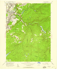
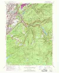
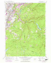
Editions of this 1946 Avoca Map
5 editions found
Other maps of this area

1889 · Scranton
USGS Topo · 1:62,500

1891 · Wilkesbarre
USGS Topo · 1:62,500

1891 · Scranton
USGS Topo · 1:62,500

1893 · Pittston
USGS Topo · 1:62,500

1893 · Scranton
USGS Topo · 1:62,500

1894 · Wilkesbarre
USGS Topo · 1:62,500

1922 · Stoddartsville
USGS Topo · 1:62,500

1924 · Stoddartsville
USGS Topo · 1:62,500

1943 · Scranton
USGS Topo · 1:125,000

1943 · Stoddartsville
USGS Topo · 1:62,500