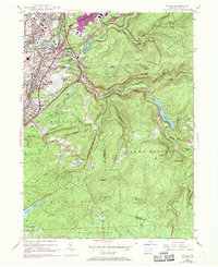
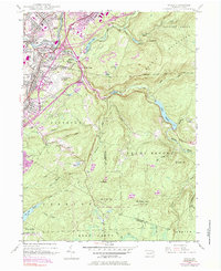
1946 Map of Avoca
USGS Topo · Published 1969About this map
The Lackawanna River corridor and the surrounding uplands of the Lackawanna and Luzerne county line are documented here during a period of transition. The valley floor is densely packed with the rail-industrial infrastructure of the Erie-Lackawanna and smaller rail nodes like Hillside Junction. While established boroughs such as Avoca and Duryea anchor the residential landscape, 1960s revisions reveal the growing footprint of the Wilkes-Barre Scranton Airport and the path of the Northeast Extension Pennsylvania Turnpike cutting through the terrain. Moving away from the valley, the map shows the complex drainage systems of the Moosic Mountains, where Spring Brook feeds the Nesbitt Reservoir. Local history is preserved in the locations of the Polish National Cem, Sacred Heart Cem, and smaller settlements like Belin Village and Spike Island, which reflect the region's diverse community and industrial heritage.
Find a feature on this map
61 named features on this map. Tap any name to fly to it.
Don’t see what you’re looking for? This feature index may not catch every label — zoom into the map to look around manually.
Map Details
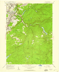
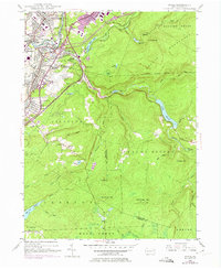
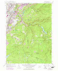
Editions of this 1946 Avoca Map
5 editions found
Other maps of this area

1889 · Scranton
USGS Topo · 1:62,500

1891 · Wilkesbarre
USGS Topo · 1:62,500

1891 · Scranton
USGS Topo · 1:62,500

1893 · Pittston
USGS Topo · 1:62,500

1893 · Scranton
USGS Topo · 1:62,500

1894 · Wilkesbarre
USGS Topo · 1:62,500

1922 · Stoddartsville
USGS Topo · 1:62,500

1924 · Stoddartsville
USGS Topo · 1:62,500

1943 · Scranton
USGS Topo · 1:125,000

1943 · Stoddartsville
USGS Topo · 1:62,500