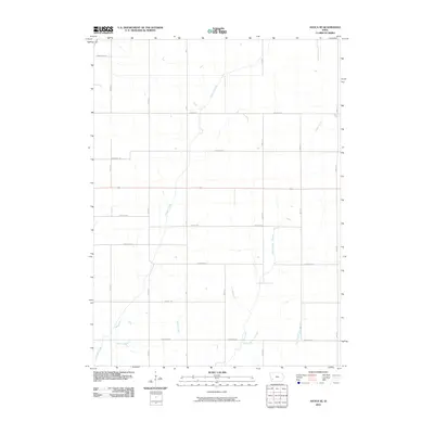
2010 Map of Avoca SE
USGS Topo · Published 2010About this map
Graybill Creek and Jordan Creek meander through this section of Pottawattamie County, defining the drainage patterns of a landscape dominated by a precise rectangular road grid. In 2010, the area maintained a purely agricultural character, with thoroughfares named for trees, such as Hickory Rd, Hackberry Rd, and Juniper Rd, dividing the land into regular sections. The rural infrastructure is anchored by primary routes like M 37 and Highway 6, which intersect the smaller watercourses like Spring Creek and Farm Creek. This map offers a clear look at the late 20th-century rural layout before any further modern development or consolidation altered the land use of these Iowa townships.
Find a feature on this map
20 named features on this map. Tap any name to fly to it.
Don’t see what you’re looking for? This feature index may not catch every label — zoom into the map to look around manually.
Map Details
Editions of this 2010 Avoca SE Map
This is the sole edition of this map. No revisions or reprints were ever made.
Other maps of this area

1954 · Omaha
USGS Topo · 1:250,000

1957 · Omaha
USGS Topo · 1:250,000

1958 · Omaha
USGS Topo · 1:250,000

1963 · Avoca NW
USGS Topo · 1:24,000

1963 · Avoca SE
USGS Topo · 1:24,000

1963 · Oakland
USGS Topo · 1:24,000

1963 · Avoca
USGS Topo · 1:24,000

1971 · Walnut
USGS Topo · 1:24,000

1971 · Atlantic SW
USGS Topo · 1:24,000

1978 · Carson
USGS Topo · 1:24,000