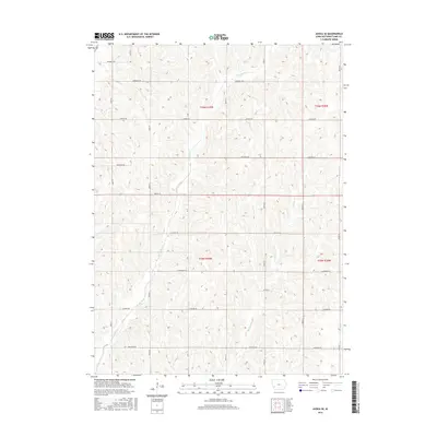
2015 Map of Avoca SE
USGS Topo · Published 2015About this map
Graybill Cr and Jordan Cr carve through this agricultural landscape in Pottawattamie County, defining the drainage patterns of the loess hills region. The map reveals a strict section-line road grid established by the Public Land Survey System, with routes like Magnolia Rd and Lombardy Rd following the township and range lines of t76n r39w and t76n r38w. This 2015 data shows the modern naming conventions of rural corridors, where botanical identifiers such as Juniper Rd, Hickory Rd, and Elmtree Rd have replaced older numeric or family-named designations. Smaller waterways like Spring Cr and Farm Cr further dissect the terrain, illustrating the intricate network of seasonal and perennial streams that support the local farming economy.
Find a feature on this map
24 named features on this map. Tap any name to fly to it.
Don’t see what you’re looking for? This feature index may not catch every label — zoom into the map to look around manually.
Map Details
Editions of this 2015 Avoca SE Map
This is the sole edition of this map. No revisions or reprints were ever made.
Other maps of this area

1954 · Omaha
USGS Topo · 1:250,000

1957 · Omaha
USGS Topo · 1:250,000

1958 · Omaha
USGS Topo · 1:250,000

1963 · Avoca NW
USGS Topo · 1:24,000

1963 · Avoca SE
USGS Topo · 1:24,000

1963 · Oakland
USGS Topo · 1:24,000

1963 · Avoca
USGS Topo · 1:24,000

1971 · Walnut
USGS Topo · 1:24,000

1971 · Atlantic SW
USGS Topo · 1:24,000

1978 · Carson
USGS Topo · 1:24,000