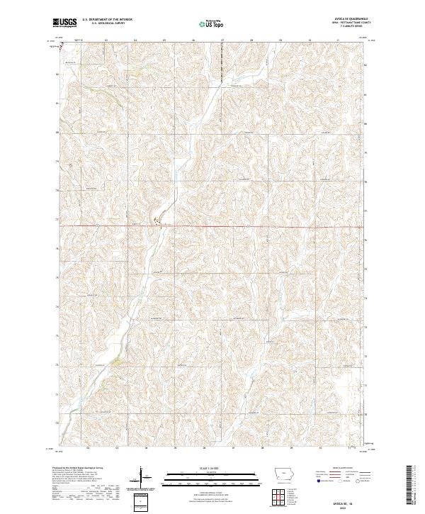
2022 Map of Avoca SE
USGS Topo · Published 2022About this map
Graybill Cr and Jordan Cr carve a pattern of drainage across this section of Pottawattamie County, defining the agricultural landscape of western Iowa. The map reveals a strict rectilinear grid of rural roads, including Magnolia Rd, Lombardy Rd, and Elmtree Rd, which follow the section lines established by the Public Land Survey System. These corridors connect the rolling farmsteads found in Townships t76n r39w and t75n r39w. The land use is almost entirely dedicated to cultivation, with minor tributaries like Spring Cr and Farm Cr feeding into the larger creek systems that eventually move toward the Missouri River basin. This survey provides a clear view of modern land division and the persistent reliance on a thoroughfare network that remains largely unchanged since the initial settlement period.
Find a feature on this map
26 named features on this map. Tap any name to fly to it.
Don’t see what you’re looking for? This feature index may not catch every label — zoom into the map to look around manually.
Map Details
Editions of this 2022 Avoca SE Map
This is the sole edition of this map. No revisions or reprints were ever made.
Other maps of this area

1954 · Omaha
USGS Topo · 1:250,000

1957 · Omaha
USGS Topo · 1:250,000

1958 · Omaha
USGS Topo · 1:250,000

1963 · Avoca NW
USGS Topo · 1:24,000

1963 · Avoca SE
USGS Topo · 1:24,000

1963 · Oakland
USGS Topo · 1:24,000

1963 · Avoca
USGS Topo · 1:24,000

1971 · Walnut
USGS Topo · 1:24,000

1971 · Atlantic SW
USGS Topo · 1:24,000

1978 · Carson
USGS Topo · 1:24,000