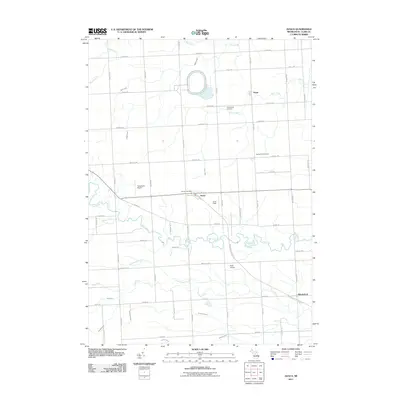
2011 Map of Avoca
USGS Topo · Published 2011About this map
Avoca and Fargo serve as the primary hubs in this agricultural pocket of Saint Clair County, where the landscape is defined by a dense network of water management features and meandering river systems. The Pine River flows across the southern portion of the sheet, while the central reaches are dominated by the winding course of Mill Creek. These natural waterways are supplemented by numerous engineered channels, including Quakenbush Drain and Eves Drain, which support the surrounding farm tracts. Local infrastructure is anchored by the Avoca Post Office and several small aviation sites such as Tackaberry Airport and Rasor Airport. For those interested in the area's social history, the map preserves the locations of Greenwood Cemetery and Spring Hill Cemetery, along with the transition of former rail corridors into the Wadhams to Avoca Trl.
Find a feature on this map
51 named features on this map. Tap any name to fly to it.
Don’t see what you’re looking for? This feature index may not catch every label — zoom into the map to look around manually.
Map Details
Editions of this 2011 Avoca Map
This is the sole edition of this map. No revisions or reprints were ever made.
Other maps of this area

1914 · Armada
USGS Topo · 1:62,500

1928 · Armada
USGS Topo · 1:62,500

1928 · Hicky
USGS Topo · 1:62,500

1939 · Smiths Creek
USGS Topo · 1:24,000

1939 · Goodells
USGS Topo · 1:24,000

1944 · Memphis
USGS Topo · 1:24,000

1952 · Memphis
USGS Topo · 1:24,000
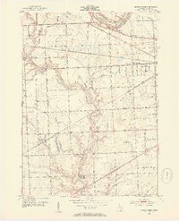
1952 · Smiths Creek
USGS Topo · 1:24,000
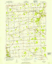
1952 · Goodells
USGS Topo · 1:24,000

1954 · Detroit
USGS Topo · 1:250,000