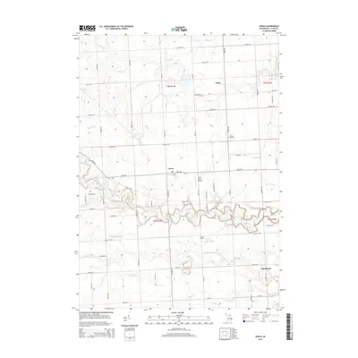
2014 Map of Avoca
USGS Topo · Published 2014About this map
Avoca and Fargo anchor the landscape of Saint Clair County in this digital-era survey, where the agricultural grid of Kenockee and Greenwood Townships is defined by an intricate network of named drains and creeks. The winding course of Mill Creek cuts a distinct, non-linear path through the center of the quadrangle, south of Avoca Rd, providing a stark contrast to the straight section lines of the surrounding townships. This waterway is supplemented by numerous local channels including Engles Drain, Jackson Drain, and Quakenbush Drain, which facilitate drainage across the rural acreage.
Find a feature on this map
62 named features on this map. Tap any name to fly to it.
Don’t see what you’re looking for? This feature index may not catch every label — zoom into the map to look around manually.
Map Details
Editions of this 2014 Avoca Map
This is the sole edition of this map. No revisions or reprints were ever made.
Other maps of this area

1914 · Armada
USGS Topo · 1:62,500

1928 · Armada
USGS Topo · 1:62,500

1928 · Hicky
USGS Topo · 1:62,500

1939 · Smiths Creek
USGS Topo · 1:24,000

1939 · Goodells
USGS Topo · 1:24,000

1944 · Memphis
USGS Topo · 1:24,000

1952 · Memphis
USGS Topo · 1:24,000
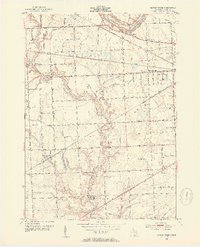
1952 · Smiths Creek
USGS Topo · 1:24,000
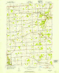
1952 · Goodells
USGS Topo · 1:24,000

1954 · Detroit
USGS Topo · 1:250,000