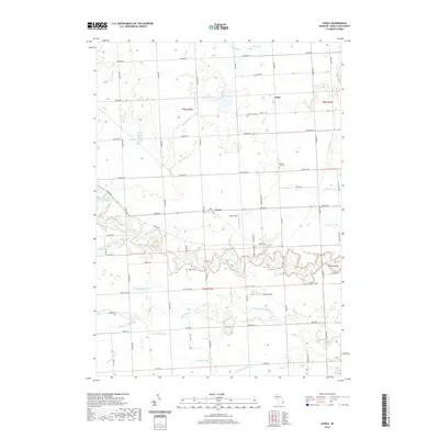
2019 Map of Avoca
USGS Topo · Published 2019About this map
Avoca and the surrounding townships of Saint Clair County are defined by a complex network of agricultural drainage systems and rural waterways. This landscape is intricately carved by numerous named channels including Quakenbush Drain, O'Loughlin Drain, and Gleason Drain, which support the local farming economy by managing the water table. The settlement of Fargo sits to the north, while the winding course of Mill Creek and the Pine River dictate the local topography. Local aviation is represented by Avoca Airport and Fasel Field, providing a look at the transport infrastructure in this part of Michigan. Genealogists and historians will find the Spring Hill Cem located along Metcalf Rd, serving as a central point for local heritage research. The grid of roads, such as Imlay City Rd and Avoca Rd, anchors the scattered residences and small communities within the Greenwood and Kenockee areas.
Find a feature on this map
60 named features on this map. Tap any name to fly to it.
Don’t see what you’re looking for? This feature index may not catch every label — zoom into the map to look around manually.
Map Details
Editions of this 2019 Avoca Map
This is the sole edition of this map. No revisions or reprints were ever made.
Other maps of this area

1914 · Armada
USGS Topo · 1:62,500

1928 · Armada
USGS Topo · 1:62,500

1928 · Hicky
USGS Topo · 1:62,500

1939 · Smiths Creek
USGS Topo · 1:24,000

1939 · Goodells
USGS Topo · 1:24,000

1944 · Memphis
USGS Topo · 1:24,000

1952 · Memphis
USGS Topo · 1:24,000
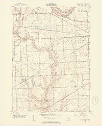
1952 · Smiths Creek
USGS Topo · 1:24,000
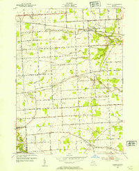
1952 · Goodells
USGS Topo · 1:24,000

1954 · Detroit
USGS Topo · 1:250,000