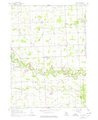
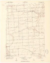
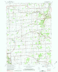
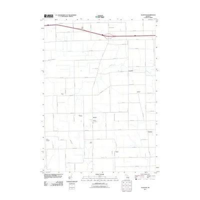
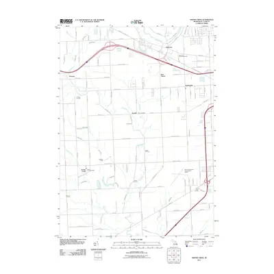
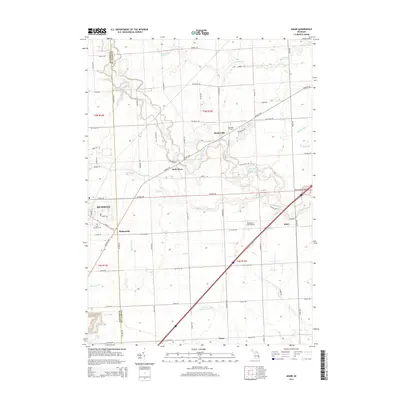
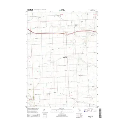
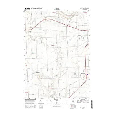
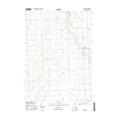
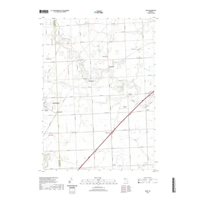
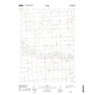
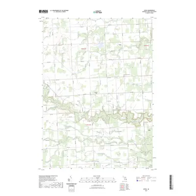
1961 Map of Avoca
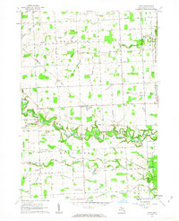
USGS Topo · Published 1977About this map
Avoca and the surrounding townships of Greenwood, Kenockee, and Grant define this rural landscape in St. Clair County. The winding course of Mill Creek cuts through the center of the sheet, surrounded by a complex network of agricultural drains including Eves Drain, Plum Creek, and Quakenbush Drain. These waterways speak to the systematic drainage of the low-lying terrain to support local farming operations.
Find a feature on this map
45 named features on this map. Tap any name to fly to it.
Don’t see what you’re looking for? This feature index may not catch every label — zoom into the map to look around manually.
Map Details
Editions of this 1961 Avoca Map
2 editions found
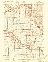
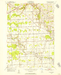
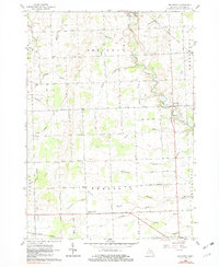
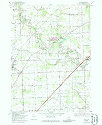
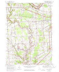
Historical Maps of Avoca Through Time
74 maps found

1928 Hicky
St. Clair County, MI

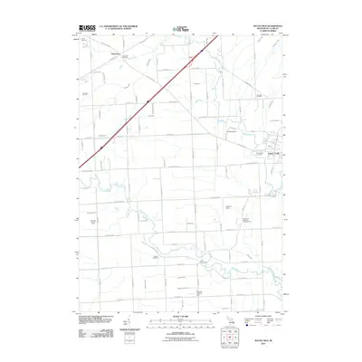
1936 Rattle Run
St. Clair County, MI

1939 Adair
St. Clair County, MI

1939 Goodells
St. Clair County, MI

1939 Smiths Creek
St. Clair County, MI

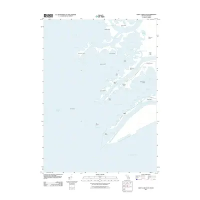
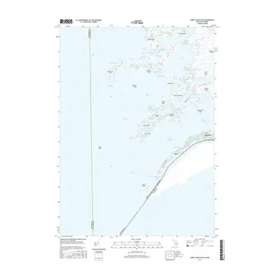
1939 St. Clair Flats
St. Clair County, MI
1942 Rattle Run
St. Clair County, MI

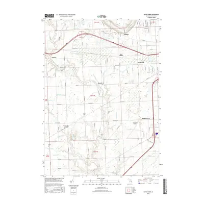
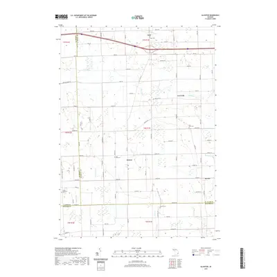
1945 Allenton
St. Clair County, MI
1949 St. Clair Flats
St. Clair County, MI

1952 Adair
St. Clair County, MI

1952 Allenton
St. Clair County, MI
1952 Goodells
St. Clair County, MI
1952 Rattle Run
St. Clair County, MI

1952 Smiths Creek
St. Clair County, MI

1952 St. Clair Flats
St. Clair County, MI
1961 Avoca
St. Clair County, MI
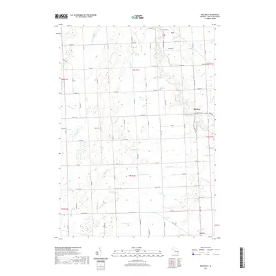
1961 Brockway
St. Clair County, MI
1968 Adair
St. Clair County, MI

1968 Allenton
St. Clair County, MI
1968 Goodells
St. Clair County, MI

1968 Rattle Run
St. Clair County, MI
1968 Smiths Creek
St. Clair County, MI
1968 St. Clair Flats
St. Clair County, MI

1981 Lake St. Clair North
St. Clair County, MI

1991 Adair
St. Clair County, MI

1991 Allenton
St. Clair County, MI

1991 Goodells
St. Clair County, MI

1991 Rattle Run
St. Clair County, MI

1991 Smiths Creek
St. Clair County, MI
2011 Adair
St. Clair County, MI
2011 Allenton
St. Clair County, MI
2011 Avoca
St. Clair County, MI
2011 Brockway
St. Clair County, MI
2011 Goodells
St. Clair County, MI
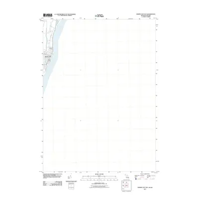
2011 Marine City OE E
St. Clair County, MI
2011 Rattle Run
St. Clair County, MI
2011 Saint Clair Flats
St. Clair County, MI
2011 Smiths Creek
St. Clair County, MI
2014 Adair
St. Clair County, MI
2014 Allenton
St. Clair County, MI
2014 Avoca
St. Clair County, MI
2014 Brockway
St. Clair County, MI
2014 Goodells
St. Clair County, MI
2014 Marine City OE E
St. Clair County, MI
2014 Rattle Run
St. Clair County, MI
2014 Saint Clair Flats
St. Clair County, MI
2014 Smiths Creek
St. Clair County, MI
2017 Adair
St. Clair County, MI
2017 Allenton
St. Clair County, MI
2017 Avoca
St. Clair County, MI
2017 Brockway
St. Clair County, MI
2017 Goodells
St. Clair County, MI
2017 Marine City OE E
St. Clair County, MI
2017 Rattle Run
St. Clair County, MI
2017 Saint Clair Flats
St. Clair County, MI
2017 Smiths Creek
St. Clair County, MI
2019 Adair
St. Clair County, MI
2019 Allenton
St. Clair County, MI
2019 Avoca
St. Clair County, MI
2019 Brockway
St. Clair County, MI
2019 Goodells
St. Clair County, MI
2019 Marine City OE E
St. Clair County, MI
2019 Rattle Run
St. Clair County, MI
2019 Saint Clair Flats
St. Clair County, MI
2019 Smiths Creek
St. Clair County, MI
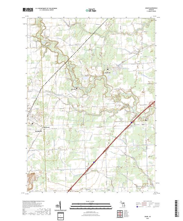
2023 Adair
St. Clair County, MI
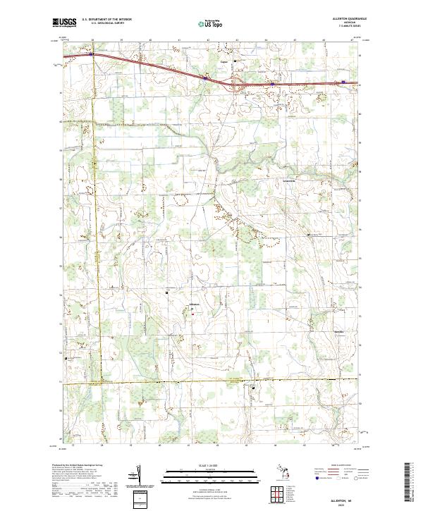
2023 Allenton
St. Clair County, MI
2023 Avoca
St. Clair County, MI
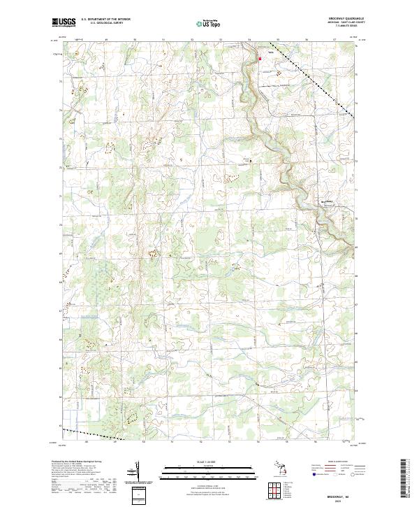
2023 Brockway
St. Clair County, MI
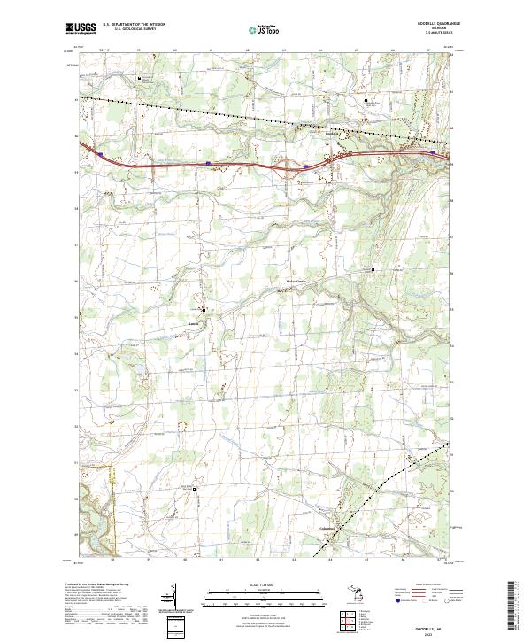
2023 Goodells
St. Clair County, MI
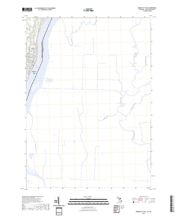
2023 Marine City OE E
St. Clair County, MI
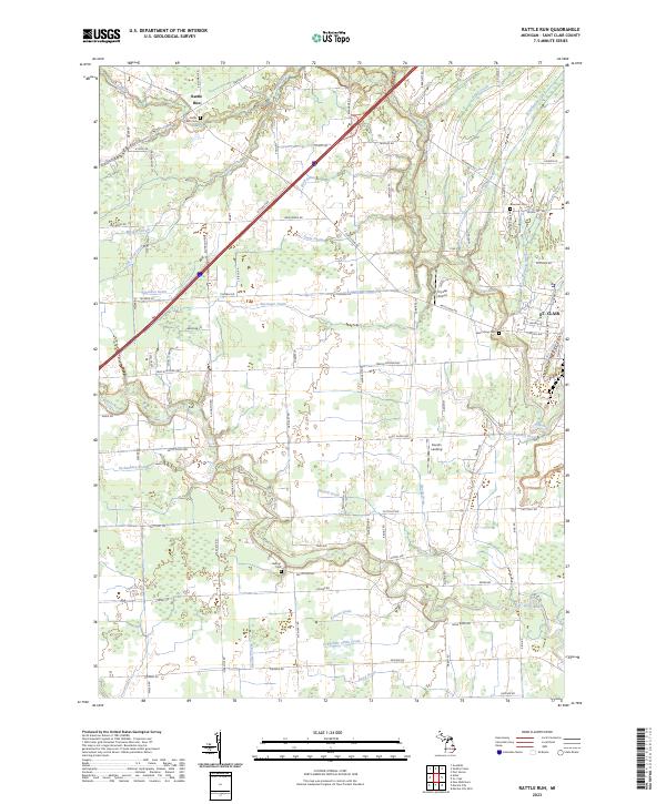
2023 Rattle Run
St. Clair County, MI
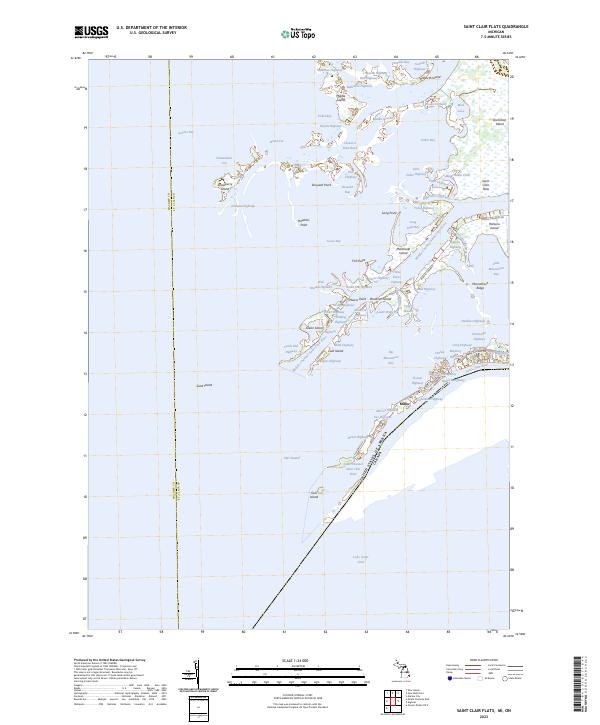
2023 Saint Clair Flats
St. Clair County, MI
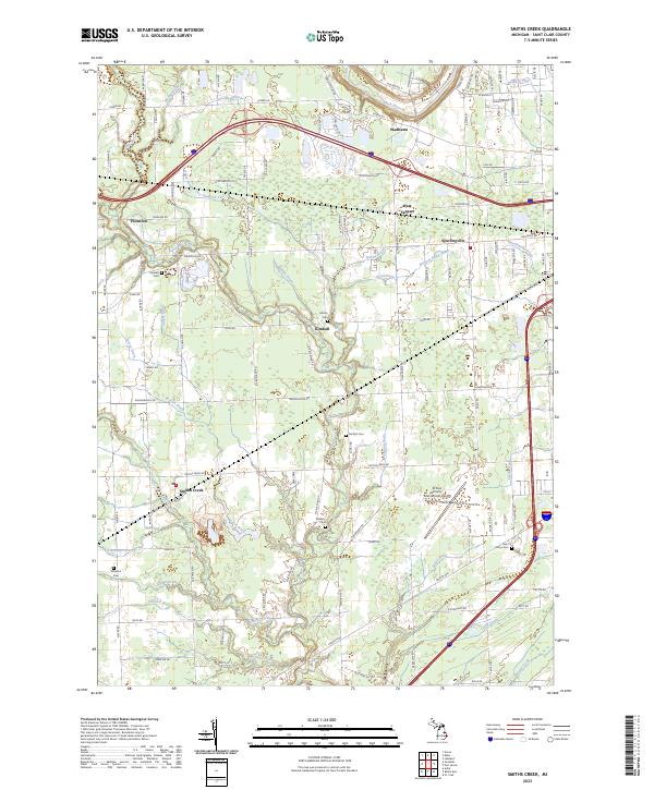
2023 Smiths Creek
St. Clair County, MI
Featured Locations
- Clyde Township, MI
- Grant Township, MI
- Greenwood Township, MI
- Avoca, Kenockee Township
- Fargo, Greenwood Township