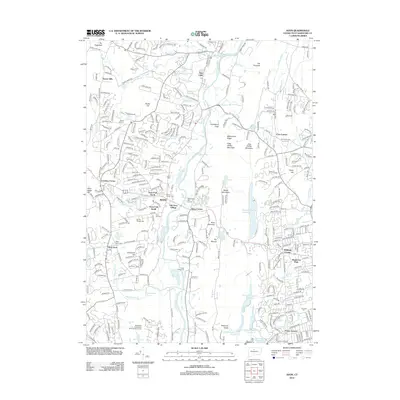
2012 Map of Avon
USGS Topo · Published 2012About this map
The Farmington River carves a prominent north-south path through this part of Hartford County, anchoring a landscape where established neighborhoods meet significant natural ridges. The central town of Avon is surrounded by a network of historic crossroads and residential developments, including Old Avon Village, Crowleys Corner, and Whitings Corner. The eastern edge of the quadrangle is defined by the sharp rise of Metacomet Ridge, featuring summits like Talcott Mountain and King Phillip Mountain.
Find a feature on this map
322 named features on this map. Tap any name to fly to it.
Don’t see what you’re looking for? This feature index may not catch every label — zoom into the map to look around manually.
Map Details
Editions of this 2012 Avon Map
This is the sole edition of this map. No revisions or reprints were ever made.
Other maps of this area

1892 · Hartford
USGS Topo · 1:62,500

1892 · Meriden
USGS Topo · 1:62,500

1892 · Granby
USGS Topo · 1:62,500

1893 · Middletown
USGS Topo · 1:62,500

1893 · Meriden
USGS Topo · 1:62,500

1906 · Farmington
USGS Topo · 1:125,000

1928 · Windsor Locks
USGS Topo · 1:24,000

1928 · Windsor
USGS Topo · 1:24,000

1944 · Hartford South
USGS Topo · 1:31,680

1945 · Hartford North
USGS Topo · 1:31,680