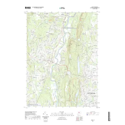
2021 Map of Avon
USGS Topo · Published 2021About this map
The Lower Farmington River and Salmon Brook Wild and Scenic River carves a central path through this Connecticut landscape, separating the residential expansions of Avon and Simsbury from the prominent heights of the Metacomet Ridge. This modern survey illustrates a complex network of recreational trails, such as the New England National Scenic Trail and the Talcott Mountain Bypass Trail, which now traverse the summits of King Phillip Mountain and Little Phillip Mountain.
Find a feature on this map
95 named features on this map. Tap any name to fly to it.
Don’t see what you’re looking for? This feature index may not catch every label — zoom into the map to look around manually.
Map Details
Editions of this 2021 Avon Map
This is the sole edition of this map. No revisions or reprints were ever made.
Other maps of this area

1892 · Hartford
USGS Topo · 1:62,500

1892 · Meriden
USGS Topo · 1:62,500

1892 · Granby
USGS Topo · 1:62,500

1893 · Middletown
USGS Topo · 1:62,500

1893 · Meriden
USGS Topo · 1:62,500

1906 · Farmington
USGS Topo · 1:125,000

1928 · Windsor Locks
USGS Topo · 1:24,000

1928 · Windsor
USGS Topo · 1:24,000

1944 · Hartford South
USGS Topo · 1:31,680

1945 · Hartford North
USGS Topo · 1:31,680