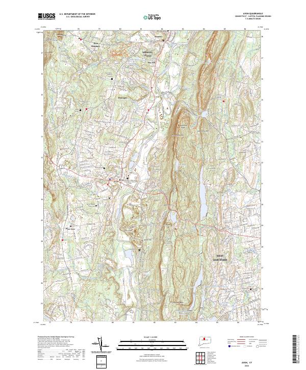
2024 Map of Avon
USGS Topo · Published 2024About this map
The Metacomet Ridge dominates the central landscape of this Connecticut corridor, rising sharply between the Farmington River valley and the urban expansion of West Hartford. This modern survey illustrates the dense suburban growth surrounding established village centers like Simsbury Center, Weatogue, and Avon. Genealogists will find a concentration of burial grounds including Saint Ann Cemetery, West Avon Cemetery, and the Cider Brook Cemetery, reflecting the long-standing community roots in the Farmington Valley.
Find a feature on this map
111 named features on this map. Tap any name to fly to it.
Don’t see what you’re looking for? This feature index may not catch every label — zoom into the map to look around manually.
Map Details
Editions of this 2024 Avon Map
This is the sole edition of this map. No revisions or reprints were ever made.
Other maps of this area

1892 · Hartford
USGS Topo · 1:62,500

1892 · Meriden
USGS Topo · 1:62,500

1892 · Granby
USGS Topo · 1:62,500

1893 · Middletown
USGS Topo · 1:62,500

1893 · Meriden
USGS Topo · 1:62,500

1906 · Farmington
USGS Topo · 1:125,000

1928 · Windsor Locks
USGS Topo · 1:24,000

1928 · Windsor
USGS Topo · 1:24,000

1944 · Hartford South
USGS Topo · 1:31,680

1945 · Hartford North
USGS Topo · 1:31,680