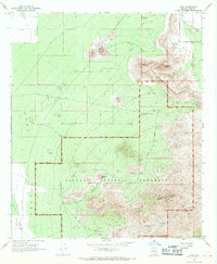
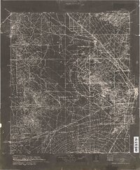
1968 Map of Avra
USGS Topo · Published 1969About this map
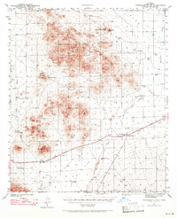
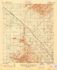
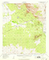
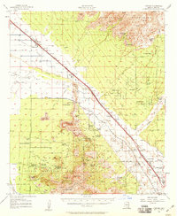
Avra Valley defines the western half of this 1968 landscape, where agricultural roads like Emigh Road and Sandario Road cut across the lowlands. To the east, the terrain rises sharply into the volcanic peaks of the Saguaro National Monument and the Tucson Mountain County Park. The map documents a period of early recreational development alongside persistent ranching and mining, with scattered outposts such as Rancho de Esperanza and M Z Bar Ranch positioned against the mountain foothills.
Find a feature on this map
40 named features on this map. Tap any name to fly to it.
Don’t see what you’re looking for? This feature index may not catch every label — zoom into the map to look around manually.
Map Details
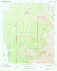
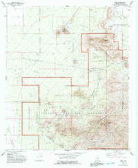
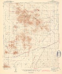
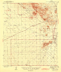
Editions of this 1968 Avra Map
3 editions found
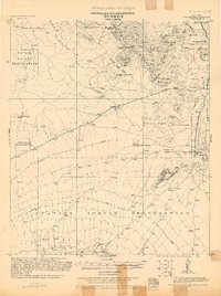
Other maps of this area
1925 · San Xavier
USGS Topo · 1:62,500
1934 · Tucson Mountains
USGS Topo · 1:125,000
1941 · Cocoraque Butte
USGS Topo · 1:62,500
1943 · Cocoraque Butte
USGS Topo · 1:62,500
1943 · San Xavier Mission
USGS Topo · 1:62,500
1947 · Cortaro
USGS Topo · 1:62,500

1956 · Tucson
USGS Topo · 1:250,000
1957 · San Xavier Mission
USGS Topo · 1:62,500
1957 · Cortaro
USGS Topo · 1:62,500

1958 · Tucson
USGS Topo · 1:250,000