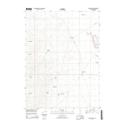
2015 Map of Awakening Peak
USGS Topo · Published 2015About this map
Awakening Peak and the high ridges of the Slumbering Hills dominate this portion of Humboldt County, marking a stark transition into the expansive Silver State Valley. The map documents the scattered desert settlements of Awakening and Daveytown, connected by the winding Sand Pass Rd as it traverses the eastern flats. These small outposts sit at the base of a complex drainage system, where deeply etched features like Siskiyou Gulch, Gaffney Gulch, and Havilah Gulch channel runoff toward Daveytown Flat. The geography here reflects a long history of Great Basin prospecting and high-altitude land management, with the rugged Humboldt Canyon providing a natural corridor through the interior mountains north of the primary settlements.
Find a feature on this map
15 named features on this map. Tap any name to fly to it.
Don’t see what you’re looking for? This feature index may not catch every label — zoom into the map to look around manually.
Map Details
Editions of this 2015 Awakening Peak Map
This is the sole edition of this map. No revisions or reprints were ever made.
Other maps of this area

1882 · Paradise
USGS Topo · 1:250,000

1886 · Disaster
USGS Topo · 1:250,000

1893 · Paradise
USGS Topo · 1:250,000

1893 · Disaster
USGS Topo · 1:250,000

1954 · Vya
USGS Topo · 1:250,000

1955 · McDermitt
USGS Topo · 1:250,000

1958 · Vya
USGS Topo · 1:250,000

1958 · Awakening Peak
USGS Topo · 1:62,500

1959 · McDermitt
USGS Topo · 1:250,000

1962 · Vya
USGS Topo · 1:250,000