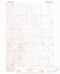
1982 Map of Awakening Peak
USGS Topo · Published 1982About this map
Mining activity dominates the eastern slopes of the Slumbering Hills in this early 1980s topographical record. Concentrated around Awakening Peak, the landscape is heavily marked by extractive industry, featuring numerous shafts and prospects such as the Siskiyou Mine, Alabama Mine, and the descriptively named Glory Hole Mine. These workings are situated near the Awakening (Site) settlement, while the eastern portion of the map transitions into the broad expanse of the Silver State Valley Flat.
Find a feature on this map
27 named features on this map. Tap any name to fly to it.
Don’t see what you’re looking for? This feature index may not catch every label — zoom into the map to look around manually.
Map Details
Editions of this 1982 Awakening Peak Map
This is the sole edition of this map. No revisions or reprints were ever made.
Other maps of this area

1882 · Paradise
USGS Topo · 1:250,000

1886 · Disaster
USGS Topo · 1:250,000

1893 · Paradise
USGS Topo · 1:250,000

1893 · Disaster
USGS Topo · 1:250,000

1954 · Vya
USGS Topo · 1:250,000

1955 · McDermitt
USGS Topo · 1:250,000

1958 · Vya
USGS Topo · 1:250,000

1958 · Awakening Peak
USGS Topo · 1:62,500

1959 · McDermitt
USGS Topo · 1:250,000

1962 · Vya
USGS Topo · 1:250,000