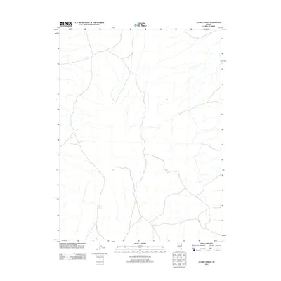
2012 Map of Ayarbe Spring
USGS Topo · Published 2012About this map
Ayarbe Spring is the central landmark of this high-desert terrain in northeastern Nevada, appearing as a vital water source in an otherwise arid expanse of ridges and drainages. The landscape is defined by a sparse network of unpaved roads and trails that traverse the basin and range province, reflecting the enduring isolation of this part of Elko County. These tracks follow the natural contours of the land, connecting remote points in a region where water features like the spring have historically dictated travel and survival. This 2012 survey by the U.S. Geological Survey illustrates the intersection of modern cartography with a classic Western topography, where names are few and the land remains largely undeveloped.
Find a feature on this map
1 named feature on this map. Tap any name to fly to it.
Don’t see what you’re looking for? This feature index may not catch every label — zoom into the map to look around manually.
Map Details
Editions of this 2012 Ayarbe Spring Map
This is the sole edition of this map. No revisions or reprints were ever made.
Other maps of this area

1955 · Elko
USGS Topo · 1:250,000

1956 · Ely
USGS Topo · 1:250,000

1958 · Elko
USGS Topo · 1:250,000

1959 · Ely
USGS Topo · 1:250,000

1962 · Elko
USGS Topo · 1:250,000

1963 · Ely
USGS Topo · 1:250,000

1965 · Elko
USGS Topo · 1:250,000

1979 · Sunset Reservoir
USGS Topo · 1:24,000
1981 · Spring Creek Flat NW
USGS Topo · 1:24,000
1981 · Georgetta Ranch
USGS Topo · 1:24,000