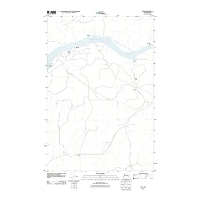
2011 Map of Ayer
USGS Topo · Published 2011About this map
Lake Herbert G West dominates the northern landscape of this Walla Walla County quadrangle, where the Snake River has been transformed by the Lake West Dam. This early 21st-century survey documents the small settlements and transit points that line the southern shore, including Ayer, Rifton, and Chew. The infrastructure reflects a balance of recreation and industry, from the Ayer Boat Basin to the rail connections at Ayer Junction.
Find a feature on this map
15 named features on this map. Tap any name to fly to it.
Don’t see what you’re looking for? This feature index may not catch every label — zoom into the map to look around manually.
Map Details
Editions of this 2011 Ayer Map
This is the sole edition of this map. No revisions or reprints were ever made.
Other maps of this area
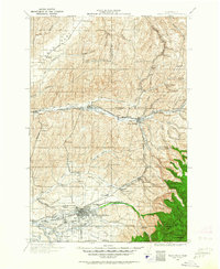
1919 · Walla Walla
USGS Topo · 1:125,000
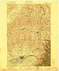
1921 · Walla Walla
USGS Topo · 1:125,000
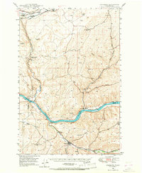
1948 · Starbuck
USGS Topo · 1:62,500
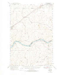
1948 · Ayer
USGS Topo · 1:62,500
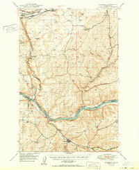
1950 · Starbuck
USGS Topo · 1:62,500
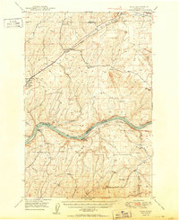
1950 · Haas
USGS Topo · 1:62,500
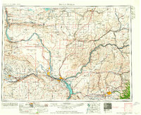
1953 · Walla Walla
USGS Topo · 1:250,000
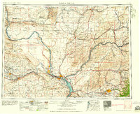
1958 · Walla Walla
USGS Topo · 1:250,000
1967 · Waitsburg NW
USGS Topo · 1:24,000
1967 · Clyde
USGS Topo · 1:24,000