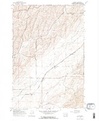
1967 Map of Clyde
USGS Topo · Published 1971About this map
Agricultural infrastructure dominates the landscape of Eureka Flat in this late 1960s mapping of Walla Walla County. The area is defined by the vital relationship between high-plateau dryland farming and the heavy transport of the Burlington Northern railroad. Small rail-side outposts like Clyde, Pickard, and Harvey serve as the primary nodes for this economy, each anchored by substantial Grain Elevators or Storage Bins designed to collect the harvests of the surrounding hills.
Find a feature on this map
24 named features on this map. Tap any name to fly to it.
Don’t see what you’re looking for? This feature index may not catch every label — zoom into the map to look around manually.
Map Details
Editions of this 1967 Clyde Map
2 editions found
Other maps of this area

1915 · Wallulah
USGS Topo · 1:96,000

1916 · Connell
USGS Topo · 1:125,000

1918 · Connell
USGS Topo · 1:125,000

1918 · Wallula
USGS Topo · 1:125,000

1919 · Walla Walla
USGS Topo · 1:125,000

1921 · Walla Walla
USGS Topo · 1:125,000

1948 · Ayer
USGS Topo · 1:62,500

1950 · Haas
USGS Topo · 1:62,500

1953 · Walla Walla
USGS Topo · 1:250,000

1958 · Walla Walla
USGS Topo · 1:250,000