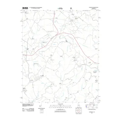
2011 Map of Ayersville
USGS Topo · Published 2011About this map
Currahee Mountain anchors the southeastern landscape of this Georgia region, where the North Fork Broad River and Middle Fork Broad River carve through the terrain. The map documents a cluster of established communities including Ayersville, Stottsville, and New Switzerland, alongside legacy industry sites like Shorts Mill on Little Hazel Creek. Genealogists will find a significant concentration of local burial grounds, such as Chopped Oak Cemetery, Laudermilk Cemetery, and Mount Bethel Cemetery, which trace family lineages across the various crossroads.
Find a feature on this map
86 named features on this map. Tap any name to fly to it.
Don’t see what you’re looking for? This feature index may not catch every label — zoom into the map to look around manually.
Map Details
Editions of this 2011 Ayersville Map
This is the sole edition of this map. No revisions or reprints were ever made.
Other maps of this area

1886 · Dahlonega
USGS Topo · 1:125,000

1886 · Walhalla
USGS Topo · 1:125,000

1891 · Gainesville
USGS Topo · 1:125,000

1891 · Carnesville
USGS Topo · 1:125,000

1892 · Dahlonega
USGS Topo · 1:125,000

1892 · Walhalla
USGS Topo · 1:125,000

1896 · Walhalla
USGS Topo · 1:125,000

1896 · Dahlonega
USGS Topo · 1:125,000

1903 · Dahlonega
USGS Topo · 1:125,000

1953 · Tallulah Falls
USGS Topo · 1:24,000