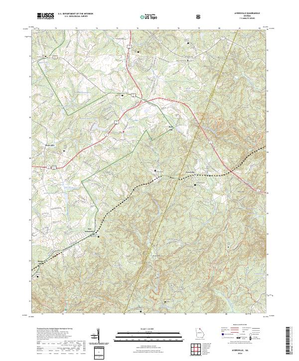
2024 Map of Ayersville
USGS Topo · Published 2024About this map
The Chattahoochee National Forest covers a significant portion of this landscape, where the headwaters of the North Fork Broad River and Middle Fork Broad River begin their descent. Small, dispersed settlements like New Switzerland and Ayersville suggest a historical pattern of rural mountain communities organized around family lineages and local landmarks. The area is characterized by numerous small bodies of water, including Lake Irvin, Irvin Lake, and Penick Pond, alongside several man-made reservoirs like Reservoir Number Twelve and Reservoir Number Nineteen.
Find a feature on this map
156 named features on this map. Tap any name to fly to it.
Don’t see what you’re looking for? This feature index may not catch every label — zoom into the map to look around manually.
Map Details
Editions of this 2024 Ayersville Map
This is the sole edition of this map. No revisions or reprints were ever made.
Other maps of this area

1886 · Dahlonega
USGS Topo · 1:125,000

1886 · Walhalla
USGS Topo · 1:125,000

1891 · Gainesville
USGS Topo · 1:125,000

1891 · Carnesville
USGS Topo · 1:125,000

1892 · Dahlonega
USGS Topo · 1:125,000

1892 · Walhalla
USGS Topo · 1:125,000

1896 · Walhalla
USGS Topo · 1:125,000

1896 · Dahlonega
USGS Topo · 1:125,000

1903 · Dahlonega
USGS Topo · 1:125,000

1953 · Tallulah Falls
USGS Topo · 1:24,000