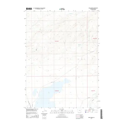
2015 Map of Ayres Spring
USGS Topo · Published 2015About this map
Laramie River winds through the southeastern corner of this Albany County landscape, anchoring a region defined by its vital water sources and historic transit routes. The presence of Ayres Spring and Box Spring in the northern uplands, along with Post Lake and Lime Creek Reservoir, illustrates the managed water resources essential for ranching in this arid environment. Significant topographic variation is marked by Red Hill, while the drainage patterns of Sevenmile Cr and Spring Cr carve through the high plains.
Find a feature on this map
18 named features on this map. Tap any name to fly to it.
Don’t see what you’re looking for? This feature index may not catch every label — zoom into the map to look around manually.
Map Details
Editions of this 2015 Ayres Spring Map
This is the sole edition of this map. No revisions or reprints were ever made.
Other maps of this area

1954 · Torrington
USGS Topo · 1:250,000

1954 · Cheyenne
USGS Topo · 1:250,000

1955 · Mc Gill Lakes
USGS Topo · 1:24,000

1955 · Dodge Ranch
USGS Topo · 1:24,000

1955 · Bluegrass Wells
USGS Topo · 1:24,000

1955 · Sevenmile Spring
USGS Topo · 1:24,000

1955 · Ayres Spring
USGS Topo · 1:24,000

1955 · Cannonball Cut
USGS Topo · 1:24,000

1958 · Cheyenne
USGS Topo · 1:250,000

1958 · Torrington
USGS Topo · 1:250,000