
1955 Map of Bluegrass Wells
USGS Topo · Published 1956About this map
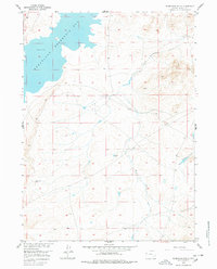
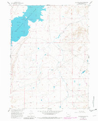
Wheatland Reservoir No 2 dominates the northwestern corner of this mid-century survey, its expansive waters and intricate shoreline providing a stark contrast to the surrounding high plains of Albany County. This landscape, documented as part of the Department of the Interior's Missouri River Basin development program, is defined by the drainage networks of West Bluegrass Creek and East Bluegrass Creek. A single Oil Well (Aband) and the eponymous Bluegrass Wells are the primary markers of human enterprise in this sparse region, reflecting a period of exploration and resource management. The map details the complex topography and section lines of this high-altitude territory, illustrating the infrastructure required to manage water and energy in the arid Wyoming interior during the 1950s.
Find a feature on this map
5 named features on this map. Tap any name to fly to it.
Don’t see what you’re looking for? This feature index may not catch every label — zoom into the map to look around manually.
Map Details
Editions of this 1955 Bluegrass Wells Map
3 editions found
Other maps of this area

1954 · Cheyenne
USGS Topo · 1:250,000

1955 · Mc Gill Lakes
USGS Topo · 1:24,000

1955 · Dodge Ranch
USGS Topo · 1:24,000

1955 · Sybille Springs
USGS Topo · 1:24,000

1955 · Ayres Spring
USGS Topo · 1:24,000

1955 · Lake Ione
USGS Topo · 1:24,000

1955 · Guide Rock
USGS Topo · 1:24,000

1955 · Sheep Rock
USGS Topo · 1:24,000

1955 · Bull Camp Peak
USGS Topo · 1:24,000

1958 · Cheyenne
USGS Topo · 1:250,000