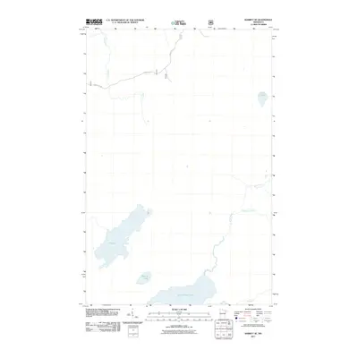
2011 Map of Babbitt SE
USGS Topo · Published 2011About this map
The vast wetlands and headwaters of the Arrowhead Region define this area, where the North River and Dunka River carve through a landscape of significant glacial lakes. Dominating the southern terrain is Seven Beaver Lake, a major hydrologic feature that feeds into the river systems. The map illustrates a wilderness largely accessible only by remote forestry tracks, specifically Forest Rte 116 and Forest Rte 114, which provide the primary terrestrial corridors through the dense forest. Smaller water bodies like Lake Culkin and Big Lake are isolated by the surrounding terrain, emphasizing the untouched character of this Minnesota backcountry during the early 21st century. The intricate drainage patterns of Ridgepole Creek and East River reflect the complex watershed geography typical of Saint Louis County.
Find a feature on this map
10 named features on this map. Tap any name to fly to it.
Don’t see what you’re looking for? This feature index may not catch every label — zoom into the map to look around manually.
Map Details
Editions of this 2011 Babbitt SE Map
This is the sole edition of this map. No revisions or reprints were ever made.
Other maps of this area

1951 · Babbitt SW
USGS Topo · 1:24,000

1951 · Babbitt
USGS Topo · 1:24,000

1952 · Babbitt SE
USGS Topo · 1:24,000

1952 · Babbitt NE
USGS Topo · 1:24,000

1953 · Whyte
USGS Topo · 1:62,500

1954 · Greenwood Lake
USGS Topo · 1:62,500

1954 · Two Harbors
USGS Topo · 1:250,000

1957 · Two Harbors
USGS Topo · 1:250,000

1957 · Brimson
USGS Topo · 1:62,500

1958 · Two Harbors
USGS Topo · 1:250,000