
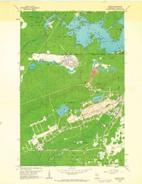
1952 Map of Babbitt SE
USGS Topo · Published 1954About this map
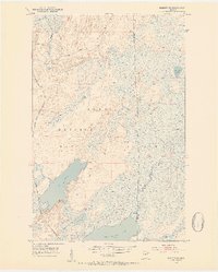
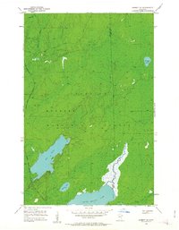
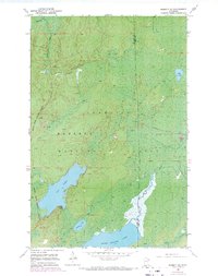
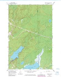
Superior National Forest dominates this mid-century landscape in the Arrowhead Region, characterized by an extensive network of wetlands and glacial lakes. This survey documents a significant moment of industrial expansion in the Iron Range vicinity, specifically the development of the Reserve Mining Company Railroad, which is shown under construction as it cuts through the forest. Large water bodies such as Big Lake and Seven Beaver Lake serve as the primary geographical anchors, connected by the North River and East River. The presence of a Boy Scout Camp along the southern shores reflects the area's dual identity as both a resource extraction frontier and a site for wilderness recreation. Smaller features like Dunks River, Snowshoe Lake, and a Gravel Pit provide additional detail for those tracing the historical footprint of northeastern Minnesota's interior.
Find a feature on this map
13 named features on this map. Tap any name to fly to it.
Don’t see what you’re looking for? This feature index may not catch every label — zoom into the map to look around manually.
Map Details
Editions of this 1952 Babbitt SE Map
5 editions found
Other maps of this area

1951 · Babbitt SW
USGS Topo · 1:24,000

1951 · Babbitt
USGS Topo · 1:24,000

1952 · Babbitt NE
USGS Topo · 1:24,000

1953 · Whyte
USGS Topo · 1:62,500

1954 · Greenwood Lake
USGS Topo · 1:62,500

1954 · Two Harbors
USGS Topo · 1:250,000

1957 · Two Harbors
USGS Topo · 1:250,000

1957 · Brimson
USGS Topo · 1:62,500

1958 · Two Harbors
USGS Topo · 1:250,000
1962 · Babbitt
USGS Topo · 1:24,000