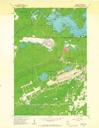
1962 Map of Babbitt
USGS Topo · Published 1963About this map
Babbitt Village stands as a focal point of industrial and residential development on the Mesabi Range in the early 1960s. The landscape is defined by the massive Open Pit Mines and sprawling Mine Dumps south of the main settlement, highlighting the era's intensive taconite extraction. The Reserve Mining Company Railroad bisects the terrain, providing the essential transport link for iron ore toward the shore of Lake Superior.
Find a feature on this map
43 named features on this map. Tap any name to fly to it.
Don’t see what you’re looking for? This feature index may not catch every label — zoom into the map to look around manually.
Map Details
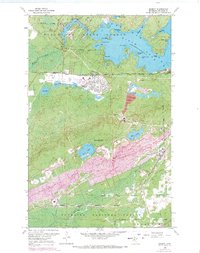
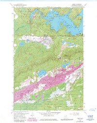
Editions of this 1962 Babbitt Map
3 editions found
Other maps of this area

1933 · Ely
USGS Topo · 1:62,500

1939 · Ely
USGS Topo · 1:62,500

1949 · Isaac Lake
USGS Topo · 1:24,000

1949 · Allen
USGS Topo · 1:24,000

1950 · Isaac Lake
USGS Topo · 1:24,000

1950 · Allen
USGS Topo · 1:24,000

1951 · Babbitt SW
USGS Topo · 1:24,000

1951 · Babbitt
USGS Topo · 1:24,000

1952 · Babbitt SE
USGS Topo · 1:24,000

1952 · Babbitt NE
USGS Topo · 1:24,000
Featured Places
- Babbitt, MN
- Bassett Township, MN
- Birch Lake (Unorganized Territory), MN
- Saint Louis County, MN
- United States