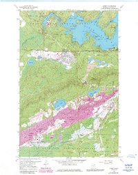
1962 Map of Babbitt
USGS Topo · Published 1985About this map
Babbitt emerges as a planned community in the heart of the Iron Range, situated within the Superior National Forest. This 1960s landscape is defined by the massive industrial footprint of the Open Pit Mines and associated Mine Dumps that stretch across the southern half of the sheet. The town's modern layout, featuring an Athletic Field, Golf Course, and High Sch, contrasts sharply with the expansive wilderness of the Birch Lake reservoir system to the north.
Find a feature on this map
39 named features on this map. Tap any name to fly to it.
Don’t see what you’re looking for? This feature index may not catch every label — zoom into the map to look around manually.
Map Details
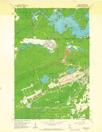
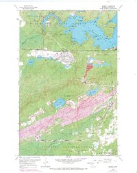
Editions of this 1962 Babbitt Map
3 editions found
Other maps of this area

1933 · Ely
USGS Topo · 1:62,500

1939 · Ely
USGS Topo · 1:62,500

1949 · Isaac Lake
USGS Topo · 1:24,000

1949 · Allen
USGS Topo · 1:24,000

1950 · Isaac Lake
USGS Topo · 1:24,000

1950 · Allen
USGS Topo · 1:24,000

1951 · Babbitt SW
USGS Topo · 1:24,000

1951 · Babbitt
USGS Topo · 1:24,000

1952 · Babbitt SE
USGS Topo · 1:24,000

1952 · Babbitt NE
USGS Topo · 1:24,000
Featured Places
- Babbitt, MN
- Bassett Township, MN
- Birch Lake (Unorganized Territory), MN
- Saint Louis County, MN
- United States