
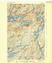
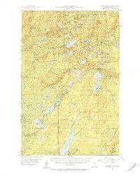
1939 Map of Ely
USGS Topo · Published 1939About this map
Pioneer Mines and the Zenith and Sibley Mine anchor the iron-rich landscape of this Iron Range community during the late 1930s. The city of Ely serves as the central hub, supported by the industrial reach of the Duluth Missabe and Northern railroad and several specialized facilities like the local Landing Field. The map illustrates a transitional period where heavy extraction meets a burgeoning recreational economy, as seen in the numerous lakeside retreats such as Burnside Lodge, Camp Van Vac, and several institutional sites like the YMCA Camp and Halfway CCC Camp.
Find a feature on this map
100 named features on this map. Tap any name to fly to it.
Don’t see what you’re looking for? This feature index may not catch every label — zoom into the map to look around manually.
Map Details
Editions of this 1939 Ely Map
3 editions found
Other maps of this area

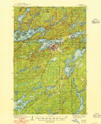
1933 · Ely
USGS Topo · 1:62,500

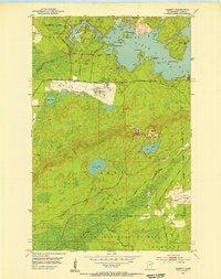
1949 · Isaac Lake
USGS Topo · 1:24,000

1950 · Isaac Lake
USGS Topo · 1:24,000
1951 · Babbitt
USGS Topo · 1:24,000
1952 · Babbitt NE
USGS Topo · 1:24,000
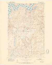
1954 · Greenwood Lake
USGS Topo · 1:62,500

1954 · Two Harbors
USGS Topo · 1:250,000

1954 · Hibbing
USGS Topo · 1:250,000

1954 · International Falls
USGS Topo · 1:250,000
1956 · Crab Lake
USGS Topo · 1:24,000
Featured Places
- Ely, MN
- Winton, Morse Township
- Stony River Township, MN
- Burntside, Morse Township
- Silver Rapids, Fall Lake Township