
1956 Map of Crab Lake
USGS Topo · Published 1958About this map
Burntside Lake and the dense wilderness of the Superior National Forest dominate this mid-century survey of St. Louis County. This northern landscape is defined by its intricate glacial hydrology, where the Korb River connects a chain of smaller waters like Korb Lake and Little Crab Lake. The map reveals a complex system of administrative boundaries, including the Minnesota State Forest and the Burnt Side forest units, which overlap the lake-dotted terrain.
Find a feature on this map
46 named features on this map. Tap any name to fly to it.
Don’t see what you’re looking for? This feature index may not catch every label — zoom into the map to look around manually.
Map Details
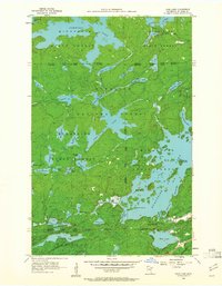
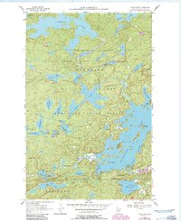
Editions of this 1956 Crab Lake Map
3 editions found
Other maps of this area

1933 · Ely
USGS Topo · 1:62,500

1939 · Ely
USGS Topo · 1:62,500

1954 · Two Harbors
USGS Topo · 1:250,000

1954 · Hibbing
USGS Topo · 1:250,000

1954 · International Falls
USGS Topo · 1:250,000

1956 · Chad Lake
USGS Topo · 1:24,000
1956 · Soudan
USGS Topo · 1:24,000

1956 · Eagles Nest
USGS Topo · 1:24,000

1957 · Two Harbors
USGS Topo · 1:250,000

1957 · Hibbing
USGS Topo · 1:250,000