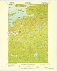
1956 Map of Soudan
USGS Topo · Published 1958About this map
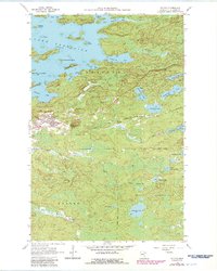
The Soudan Mine anchors this mid-century look at the eastern Vermilion Iron Range, illustrating the industrial footprint on the landscape of Breitung and Kugler townships. The Duluth Missabe and Iron Range railroad serves as the primary artery through the corridor, connecting the settlements of Soudan and Murray. South of the mining operations, the terrain transitions into a dense network of wetlands and waterways within the State Forest, including the winding paths of Owens Creek and the East River. To the north, the intricate shoreline of Lake Vermilion is defined by numerous bays and islands, such as Stuntz Bay and Timber Island. Notable landmarks like the Lookout Tower on Jasper Peak provide distinct points of reference over a landscape where heavy extraction and forest management exist in close proximity. The map reveals the precise layout of the La Rue Mines and various named water bodies like Fivemile Lake that define this northern Minnesota interior.
Find a feature on this map
47 named features on this map. Tap any name to fly to it.
Don’t see what you’re looking for? This feature index may not catch every label — zoom into the map to look around manually.
Map Details
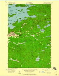
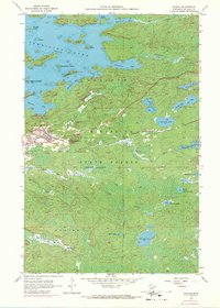
Editions of this 1956 Soudan Map
5 editions found
Other maps of this area

1949 · Isaac Lake
USGS Topo · 1:24,000

1949 · Embarrass
USGS Topo · 1:24,000

1950 · Isaac Lake
USGS Topo · 1:24,000

1950 · Embarrass
USGS Topo · 1:24,000

1950 · Biwabik NE
USGS Topo · 1:24,000

1951 · Biwabik NE
USGS Topo · 1:24,000

1954 · Hibbing
USGS Topo · 1:250,000

1956 · Sioux Pine Island
USGS Topo · 1:24,000

1956 · Tower
USGS Topo · 1:24,000

1956 · Chad Lake
USGS Topo · 1:24,000