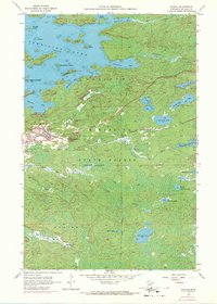
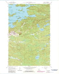
1956 Map of Soudan
USGS Topo · Published 1971About this map
The Soudan Mine and the adjacent settlement of Soudan anchor this survey of the Vermilion Range during a period of industrial and recreational transition. The intricate shoreline of Vermilion Lake dominates the northern half of the sheet, featuring numerous named islands such as Timber Island and Ely Island. This landscape reflects the deep-rooted iron mining history of St. Louis County, shown here as the Minnesota and Missabe and Iron Range railroad snakes through the center of the quadrangle to serve the local extractive industries.
Find a feature on this map
50 named features on this map. Tap any name to fly to it.
Don’t see what you’re looking for? This feature index may not catch every label — zoom into the map to look around manually.
Map Details
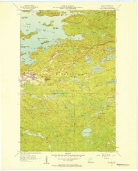
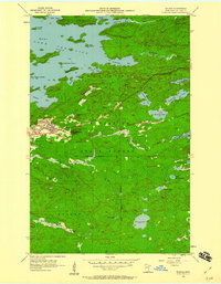
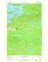
Editions of this 1956 Soudan Map
5 editions found
Other maps of this area

1949 · Isaac Lake
USGS Topo · 1:24,000

1949 · Embarrass
USGS Topo · 1:24,000

1950 · Isaac Lake
USGS Topo · 1:24,000

1950 · Embarrass
USGS Topo · 1:24,000

1950 · Biwabik NE
USGS Topo · 1:24,000

1951 · Biwabik NE
USGS Topo · 1:24,000

1954 · Hibbing
USGS Topo · 1:250,000

1956 · Sioux Pine Island
USGS Topo · 1:24,000

1956 · Tower
USGS Topo · 1:24,000

1956 · Chad Lake
USGS Topo · 1:24,000