
1956 Map of Eagles Nest
USGS Topo · Published 1958About this map
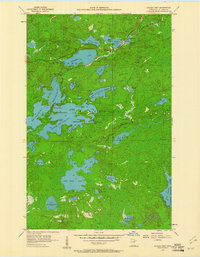
Bear Head Lake and the complex of Eagles Nest Lakes dominate this northern Minnesota landscape during the mid-1950s. The area is defined by its glacial hydrology, where a dense network of water bodies like Armstrong Lake and Robinson Lake are interspersed with wetlands and marshy shorelines. These waters are contained within the protected boundaries of the Minnesota State Forest and the Superior National Forest, illustrating the region's character as a managed timber and recreation wilderness.
Find a feature on this map
46 named features on this map. Tap any name to fly to it.
Don’t see what you’re looking for? This feature index may not catch every label — zoom into the map to look around manually.
Map Details
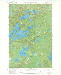
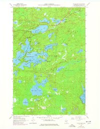
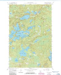
Editions of this 1956 Eagles Nest Map
5 editions found
Other maps of this area

1933 · Ely
USGS Topo · 1:62,500

1939 · Ely
USGS Topo · 1:62,500

1949 · Isaac Lake
USGS Topo · 1:24,000

1949 · Embarrass
USGS Topo · 1:24,000

1950 · Isaac Lake
USGS Topo · 1:24,000

1950 · Embarrass
USGS Topo · 1:24,000

1951 · Babbitt
USGS Topo · 1:24,000

1954 · Two Harbors
USGS Topo · 1:250,000

1954 · Hibbing
USGS Topo · 1:250,000

1956 · Chad Lake
USGS Topo · 1:24,000