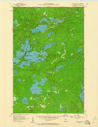
1956 Map of Eagles Nest
USGS Topo · Published 1961About this map
The Duluth Missabe and Iron Range railroad cuts across the northern edge of this Minnesota landscape, connecting the small settlements of Robinson and McComber. The area is defined by an intricate network of water bodies, including the sprawling Armstrong Lake and the sequential basins of Eagles Nest Lake No 1, Eagles Nest Lake No 2, Eagles Nest Lake No 3, and Eagles Nest Lake No 4. This map documents a mid-century period when industrial transportation lines and recreational waterways coexisted within the State Forest boundaries.
Find a feature on this map
45 named features on this map. Tap any name to fly to it.
Don’t see what you’re looking for? This feature index may not catch every label — zoom into the map to look around manually.
Map Details
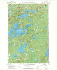
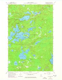
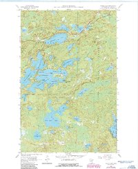
Editions of this 1956 Eagles Nest Map
5 editions found

Other maps of this area

1933 · Ely
USGS Topo · 1:62,500

1939 · Ely
USGS Topo · 1:62,500

1949 · Isaac Lake
USGS Topo · 1:24,000

1949 · Embarrass
USGS Topo · 1:24,000

1950 · Isaac Lake
USGS Topo · 1:24,000

1950 · Embarrass
USGS Topo · 1:24,000

1951 · Babbitt
USGS Topo · 1:24,000

1954 · Two Harbors
USGS Topo · 1:250,000

1954 · Hibbing
USGS Topo · 1:250,000

1956 · Chad Lake
USGS Topo · 1:24,000