
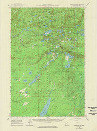
1954 Map of Greenwood Lake
USGS Topo · Published 1956About this map
The Superior National Forest and Minnesota State Forest define this landscape of the Arrowhead Region during the mid-1950s. This survey records the industrial footprint of the Iron Range as new infrastructure was being laid across the wilderness. Heavy industrial activity is evident through the many Gravel Pits and the expansion of the Erie Mining Company Railroad, which appears alongside the Duluth Missabe and Iron Range tracks.
Find a feature on this map
64 named features on this map. Tap any name to fly to it.
Don’t see what you’re looking for? This feature index may not catch every label — zoom into the map to look around manually.
Map Details
Editions of this 1954 Greenwood Lake Map
2 editions found
Other maps of this area

1933 · Ely
USGS Topo · 1:62,500

1939 · Ely
USGS Topo · 1:62,500

1952 · Babbitt SE
USGS Topo · 1:24,000

1952 · Babbitt NE
USGS Topo · 1:24,000

1953 · Whyte
USGS Topo · 1:62,500

1954 · Silver Bay
USGS Topo · 1:62,500

1954 · Two Harbors
USGS Topo · 1:250,000

1955 · Isabella
USGS Topo · 1:62,500

1957 · Two Harbors
USGS Topo · 1:250,000

1957 · Brimson
USGS Topo · 1:62,500