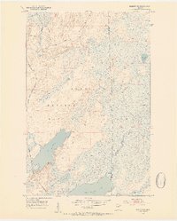
1952 Map of Babbitt SE
USGS Topo · Published 1954About this map
The Superior National Forest dominates this northern wilderness in the early 1950s, a landscape defined by extensive wetlands and glacial lakes. Industrial development is clearly visible in the west, where the Reserve Mining Company Railroad is marked as under construction. This rail line was a critical component of the mid-century taconite boom, designed to transport ore from the iron range to Lake Superior.
Find a feature on this map
14 named features on this map. Tap any name to fly to it.
Don’t see what you’re looking for? This feature index may not catch every label — zoom into the map to look around manually.
Map Details
Editions of this 1952 Babbitt SE Map
5 editions found
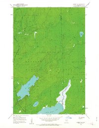
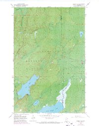
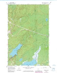
Other maps of this area

1951 · Babbitt SW
USGS Topo · 1:24,000

1951 · Babbitt
USGS Topo · 1:24,000

1952 · Babbitt SE
USGS Topo · 1:24,000

1952 · Babbitt NE
USGS Topo · 1:24,000

1953 · Whyte
USGS Topo · 1:62,500

1954 · Greenwood Lake
USGS Topo · 1:62,500

1954 · Two Harbors
USGS Topo · 1:250,000

1957 · Two Harbors
USGS Topo · 1:250,000

1957 · Brimson
USGS Topo · 1:62,500

1958 · Two Harbors
USGS Topo · 1:250,000